
 I woke up really early Friday morning and decided to get underway. The sky at that hour was so dark and clear, I finally had an unobstructed view of the stars. Since I didn’t have my telescope, I got a few shots with my phone. The part of the Blue Ridge Parkway near Smoky Mountain National Park was empty of traffic, but I still needed to drive carefully because I was concerned that the cool weather had made the leaf-covered roadway slick, plus I occasionally had to evade fallen tree branches.
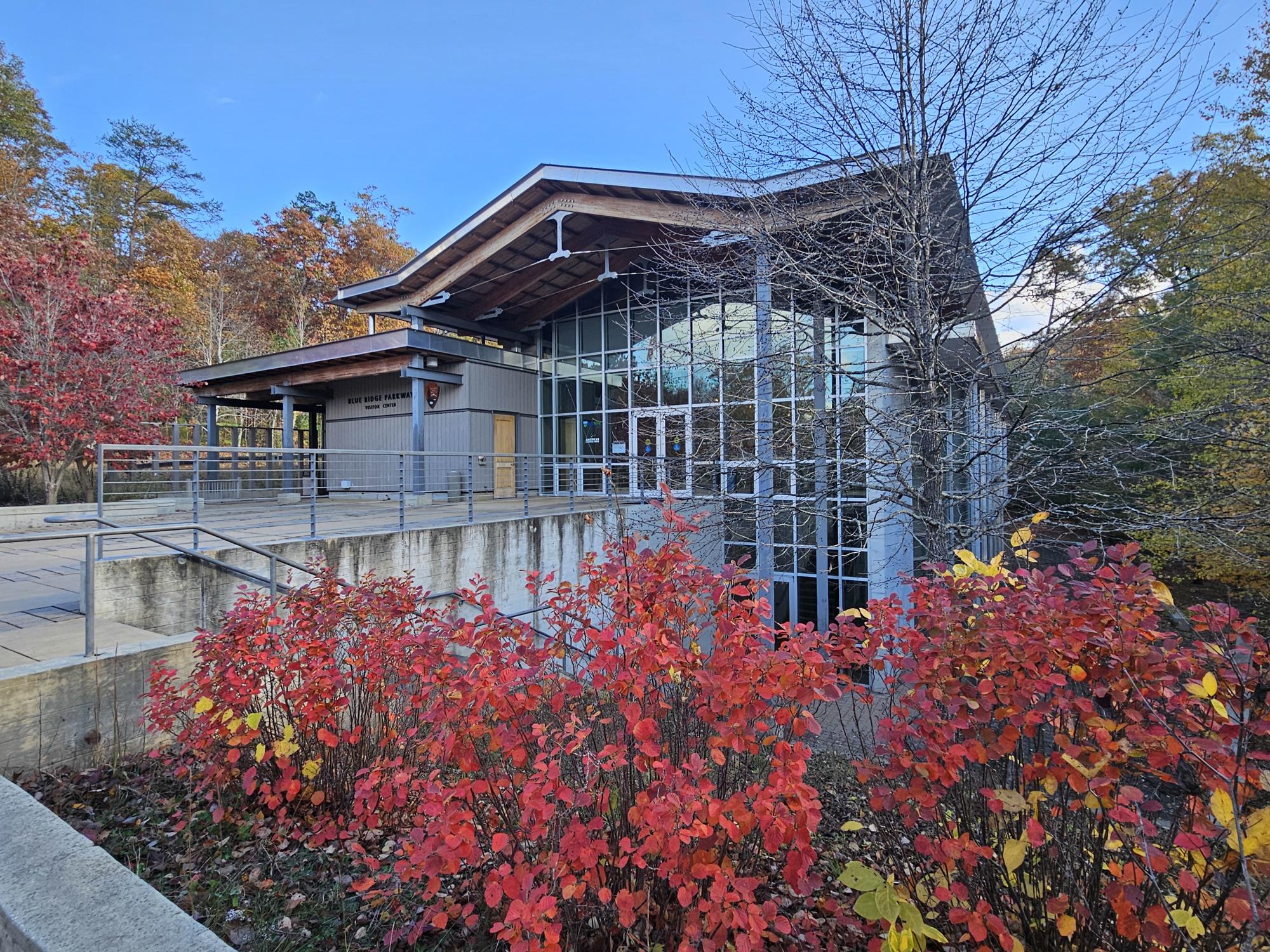
I chose the faster, most direct drive (Rt. 19 to I-40 East) to Asheville, rather than taking the part of the parkway I’d already driven. By the time I reached the parkway’s visitor center, it had opened for the day. I was very glad to be able to talk to the ranger on duty because, as I suspected, there were numerous parts of the parkway closed for repairs. I got my usual souvenirs of the visit and restarted my drive.
It wasn’t long before I reached the first road closure. Unfortunately, there was no reasonable chance my Shaka Guide audio tour could be up-to-date with the series of road closings and re-openings, and I had managed to leave the map the ranger had given me in SB’s back seat. Between Waze and my Rand McNally road atlas, I made a guess about a point where I might be able to successfully return to the parkway. My road angel must have been looking out for me again, because I actually managed to find a re-entry point, as I could see the closure gate from SB’s front passenger window!
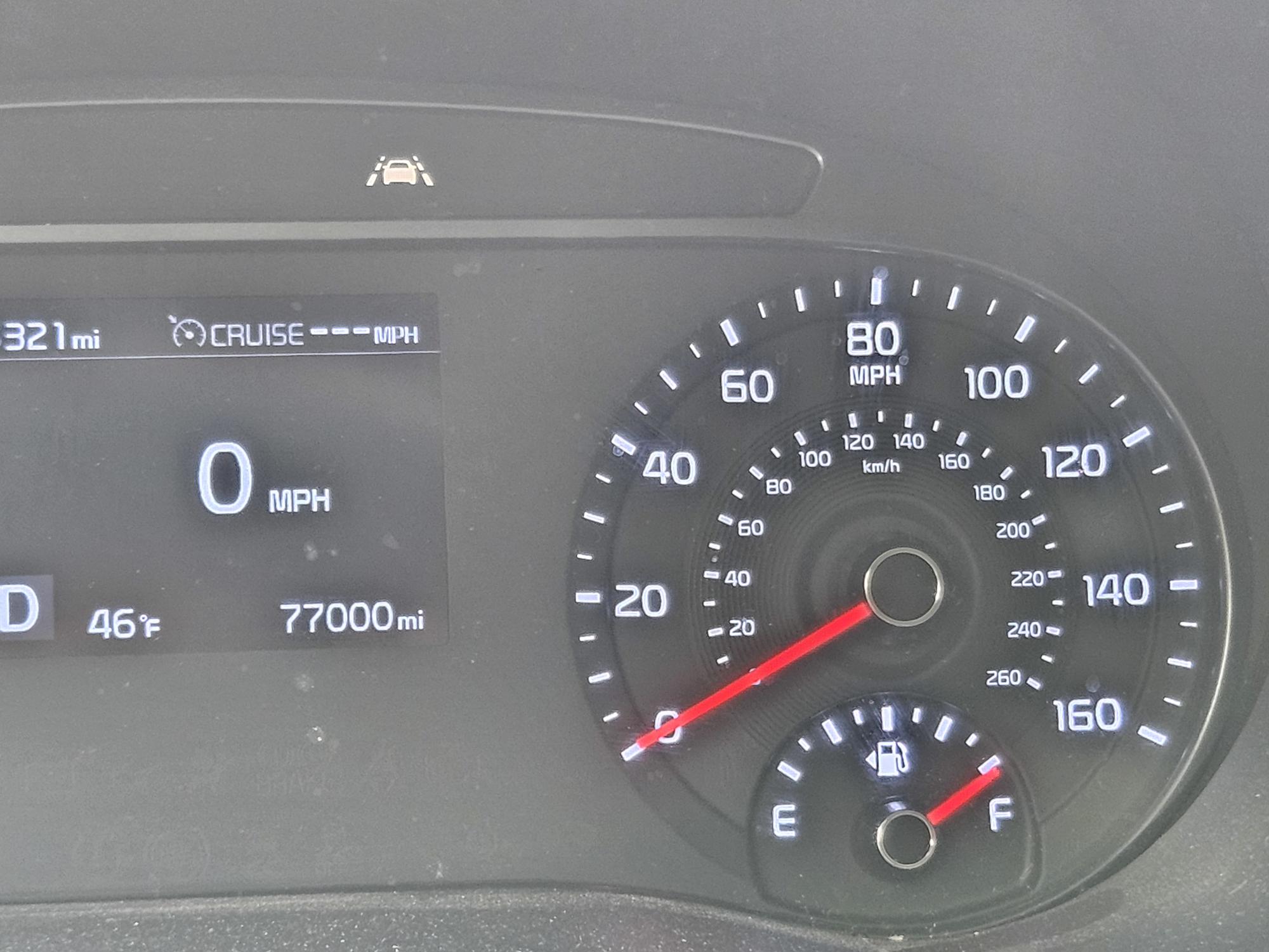 BTW, as I drove through the town of Spruce Pine, North Carolina, SB reached her 77,000th mile. I just had to pull over long enough to capture the moment for posterity.
Fortunately, the Shaka Guide was able to detect my GPS position and began the audio tour from that point. Unfortunately, however, it looks like there is a pretty wide gap between where I had to leave the parkway and where I was able to find my way back. I was still able to enjoy the parkway, including the Linn Cove Viaduct. It’s an interesting feat of engineering and construction, but I couldn’t really get a picture of the entire bridge. There are several pictures along the way, then some taken from a distance to portray a sense of its scope.
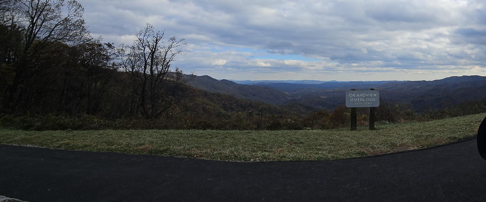
The parkway’s trees were clearly past their prime fall coloring and leaf coverage, but there was still plenty to see. Much of the drive through the remainder of the parkway was leisurely, and I stopped frequently to take pictures. Even though I didn’t leave SB throughout the scenic drive to take advantage of the various hiking trails, I was still satisfied with the sights I could see and photograph, including the Moses Cone Memorial Park, and this great view I captured as a panoramic photo:
Several of the photos I took on this last day of my trip are below, with the entire set available at https://singin1.pics/piwigo/index.php?/category/Blue-Ridge-Parkway-Pt-2-103125.
I was just leaving the parkway near Boone, North Carolina, when I saw a Facebook post that my eldest sister’s husband had passed away after a long illness. In a call to my youngest brother, he assured me that my sister was handling the situation and that I didn’t need to worry about rushing back to the DMV. I don’t know why he bothered to say that because our family doesn’t operate like that. I immediately switched to “get a move on” mode and pulled into her home’s driveway just after midnight, completing what turned out to be a 19-hour drive. Needless to say, when I did finally get to my home, I barely allowed myself time to undress before going to bed for the rest of Saturday.
Final Thoughts
SB and I covered a lot of territory in those eight days. Even though I saw much of the Blue Ridge Parkway, I’d like to go back once more of the damaged sections have been repaired. Perhaps by the spring of 2027, such a trip would also afford me the opportunity to see previously missed parts of Shenandoah and Smoky Mountain national parks with their new flowers and green trees.
We’ll see….

 As always, I thank the Lord for granting me the stamina to make the trip, the damn good reflexes to steer the Silver Bullet (SB) as she needed to be guided, and the ability to enjoy His handiwork as it whizzes by my windshield.
Let me use this opportunity to remind you to keep your vehicle well-stocked with water and supplies, and fill the gas tank whenever possible. Second, have a backup directional source that doesn’t depend on wifi access to function. The national parks, even one as “civilized” as Smoky Mountain NP, often have few or no gas stations, facilities or wifi available. And if you’re near a restroom, use it! It could be hours before you see another.
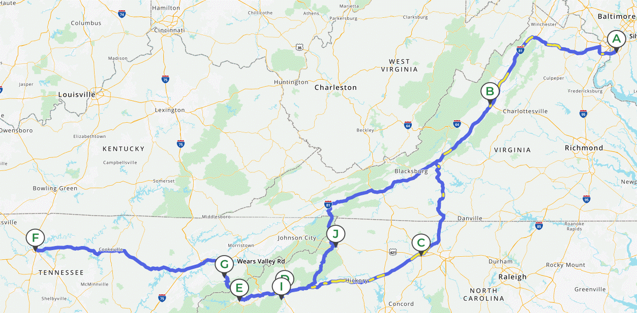
Finally, to the right is the map of the complete trip. SB finished with 77,435 miles, so the total 8-day trip distance was 2,976 miles. She deserves a complete cleaning, inside and out, and at least an oil change. I am a firm believer in the 1970s commercials saying, “You can pay me now, or you can pay me later.”
Discover more from Singin' One's Journeys
Subscribe to get the latest posts sent to your email.