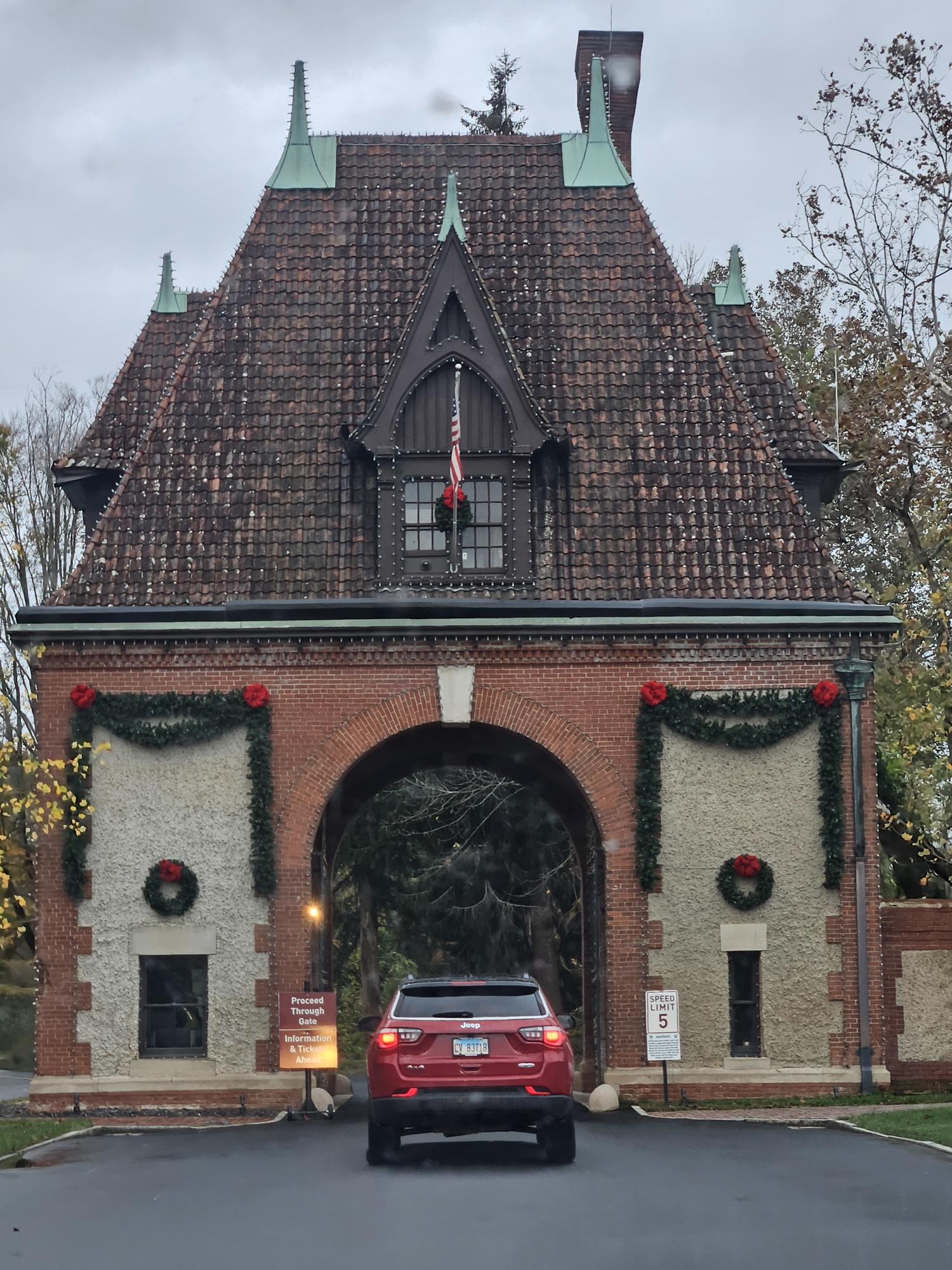
 Tuesday morning was, as forecast, cloudy but with a far lower chance of rain in the Asheville area. I checked out and got a relatively early start. On Monday, while driving around Asheville, I noticed directional signs indicating that the famous Biltmore Estate was nearby. I wasn’t really interested in a tour of the estate this trip, but I decided to take a chance of getting close enough to the house to get a picture. Based on the appearance of the gatehouse, the grounds have already been decorated for the coming Christmas holidays–more than a month away at that point. Unfortunately, though, I was unable to get past the ticket booth for more photos without buying a ticket.
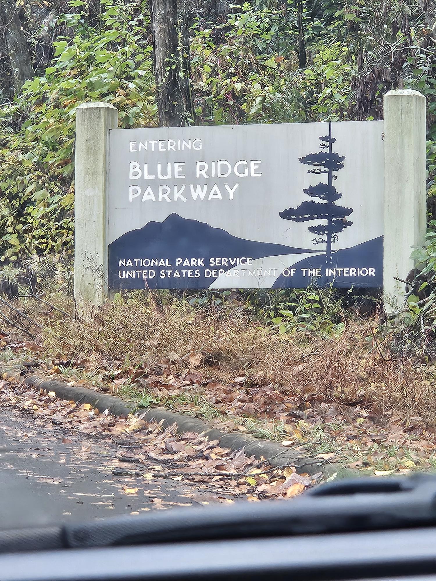
Instead, I headed to the North Carolina Arboretum, where I had planned to begin the audio-guided tour of the portion of the Blue Ridge Parkway that would lead to the Smoky Mountain National Park, both part of the US National Park Service. The app I chose for its series of audio tours was Shaka Guide, which I had found previously found informative and useful in exploring other parks and excursion sites. I had a bit of trouble finding the GPS position where this particular tour was supposed to begin and finally had to call their customer service to get assistance–while I was less than thrilled with the lost time and gas, the customer service person was quickly able to get me back to the point where the tour began.
 Like previous tours, this one gave me a lot of historical and cultural information about the parkway. It really deepened my appreciation of the scenic drive and how it had come into existence, including those who were impacted by it. I wasn’t sure how much of the route would be affected by last year’s Hurricane Helene. Either the damage on the western portion was minimal, or the repairs to the area had been mostly completed.
My primary impression of the parkway was the gorgeous array of Fall tree colors. Even the parking lot of the mall near the arboretum had stunning trees that seemed to be afire with nature’s reds and yellows. I took my time experiencing the parkway and taking pictures in an effort to capture what I was seeing. My only disappointment was that there were times where a car or two would clearly wish to travel faster than me, causing me to speed past some spots I would have liked to savor. As the day progressed and I ascended to higher levels, the fog/cloud cover became thicker to the point where visibility of the overlooks dropped to zero.
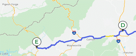
I’m going to let the pictures speak for themselves. A larger number than usual are below, with many more posted at https://singin1.pics/piwigo2/index.php?/category/blue-ridge-parkway-pt-1-102825. The map on that opening page gives precise locations along the route I took from the Asheville entrance of the parkway to its end at Smoky Mountain NP. I spent the night in nearby Cherokee with the plan to drive the national park on Wednesday. However, this plan, too, would change. More about this in my next post.

 As always, I thank the Lord for granting me the stamina to make the trip, the damn good reflexes to steer the Silver Bullet (SB) as she needed to be guided, and the ability to enjoy His handiwork as it whizzes by my windshield.
As I mentioned above, this part of the Blue Ridge Parkway showed little signs of hurricane damage, and so the drive was pretty straightforward once I got going. Again, a general map of the drive is to the right. Specific route is on the photos page linked above.
Discover more from Singin' One's Journeys
Subscribe to get the latest posts sent to your email.

