Since I retired, I am more inclined to indulge my impulses and hop onto the road with little or no advanced planning. This is what happened when I literally woke up one morning and decided to visit the closest national park to the area. I had just gotten a 35 mm digital camera and wanted to give it a test-run at a site where I could find distance and closeup scenery to photograph.
Shenandoah National Park
I entered Shenandoah National Park from the southern part of Virginia with the idea of working my way north so that drive home would be shorter. Although this was an impulse trip, I still took the time beforehand to check the web and get information about the park so I could be prepared for it.
I exited I-64 and entered the southernmost point of Skyline Drive. I do wish that I’d gone by the visitor center beforehand, as I normally do when visiting a park, but I didn’t. I suspect it would have enhanced the drive had I done so–that is, presuming the center was open.
As the site indicated, the park is made up of numerous trails and turnoffs overlooking the valley below. I stopped a lot and took a lot of pictures.
The park was mostly deserted, which wasn’t surprising considering that it was February and most of the trees lacked their green or fall color arrays. The very few facilities in the park were closed as well. I also discovered that the farther into the park I went, the spottier the Wifi access became. However, this was why I always carry a printed atlas in my car, and I certainly appreciated having it in hand as I mapped my way to an exit point.
Here are a selection of numerous pictures I took along the way:
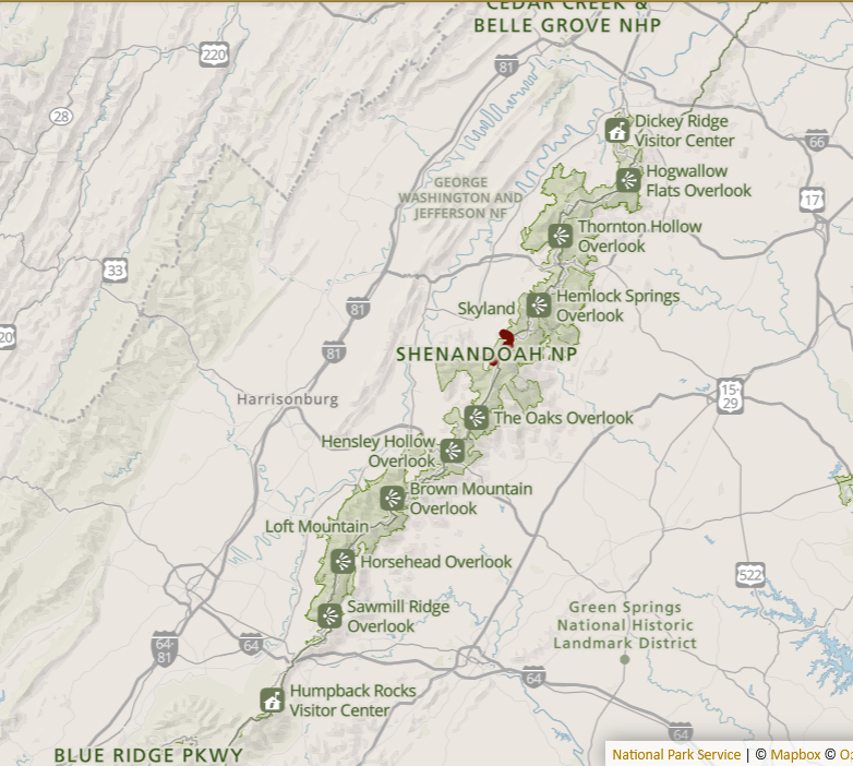
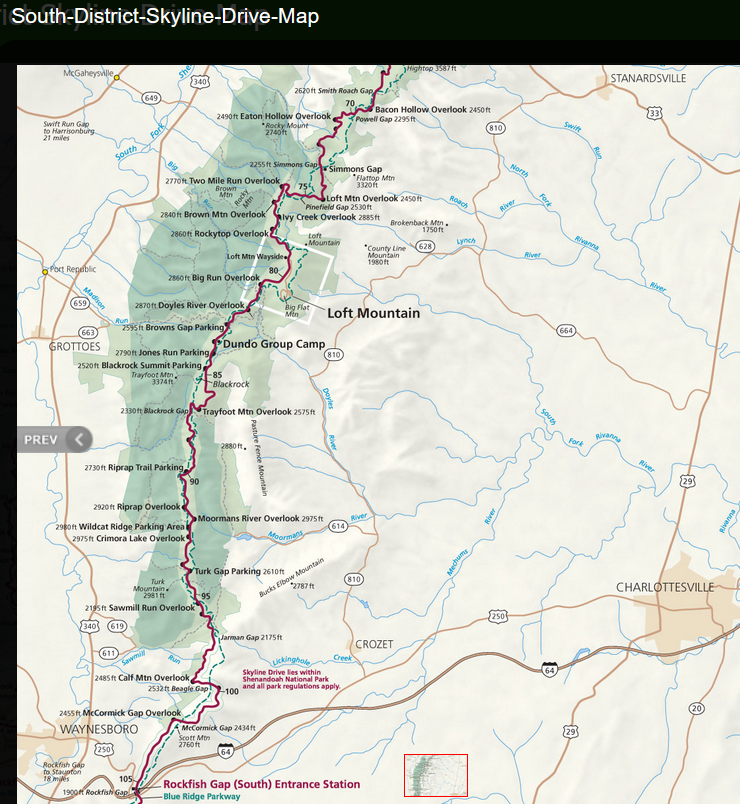
Also, all of the pictures are available at https://singin1.pics/piwigo2/index.php?/category/two-national-parks-shenandoah-np-020924. Because the 35 mm camera didn’t record metadata, including coordinates, for individual pictures, the map doesn’t provide this information. However, this map of the southern portion of Skyline Drive may be helpful in matching signage I photographed with the points where I was when the pictures were taken.
By the time I reached the park entrance at Swift Run Gap (East of Elkton, Virginia, off of US 33), I was starting to feel tired. I didn’t know how many miles until I would reach the next entrance, so I decided to call it a day and to thank my earlier decision to shorten my drive home by exiting the park from a more northerly point.
I want to return and drive down the northern end of the park in the fall when the leaves change because I expect the views to be stunning. I should also be able to visit the center at the northernmost end and get pointers from the rangers on site.
Congaree National Park
I drove to my hometown in late February to visit family I hadn’t seen in years. I had especially wanted to see my aunt, the only survivor of my father’s siblings. I would be close enough to South Carolina to justify a visit to Congaree National Park.
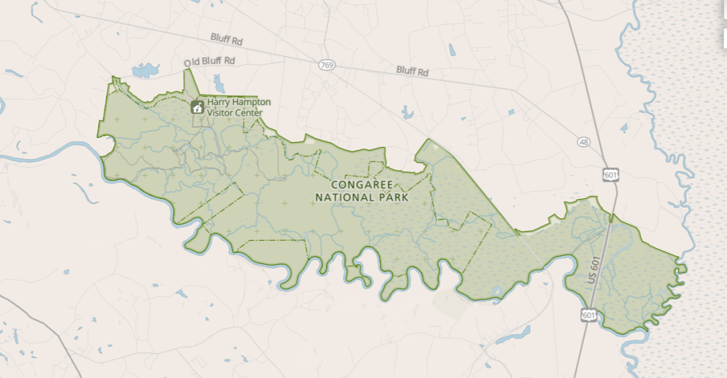
For two woodland parks, Congaree and Shenanadoah could hardly be more different from my perspective. On the NPS’s website, they mention that very little of the extensive park is suited to car traffic, rather visitors must rely on hiking and/or boat to traverse it. Only the area near the Harry Hampton Visitor Center supports vehicular transportation and is reasonably accessible. With that advanced knowledge, I pretty much restricted my visit to the visitor center and the beginning portions of the boardwalk that extends approximately two miles from the center. The mosquito meter mounted on the outside of the visitor’s center was a hint that the flying insects tend to be a bothersome feature at times, but, fortunately not on that particular rainy February morning.
I’ve added some pictures I took on the portions of the boardwalk I walked below:
The rest are available at https://singin1.pics/piwigo2/index.php?/category/two-national-parks-congaree-np-020924.
After I left the park, the route took me towards the exit to North Myrtle Beach. While I was a child, it was one of the few beach area where African Americans were welcome to enjoy the facilities and the hotels. I hadn’t been there in decades, so I impulsively redirected my route to the beach. It was afternoon when I arrived and I still had some 430 miles to drive home, so I didn’t explore much, just took a few shots of the beach, rested a little, then hit the road.
Here are some of those pictures, with the rest available at the link above:
I had hoped that I would see something that sparked a memory, but I guess it’s been too many years past. Still, I’m glad I went.
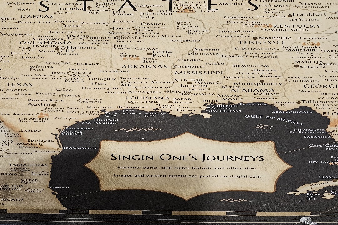
Discover more from Singin' One's Journeys
Subscribe to get the latest posts sent to your email.