
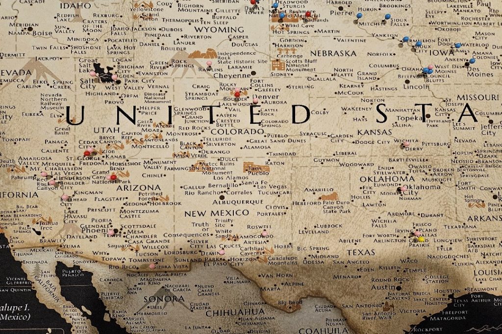
I purchased a cloth map of the United States in January 2024 that I have used to pin stops I made during journeys referenced on this site. A photo of the map is below:
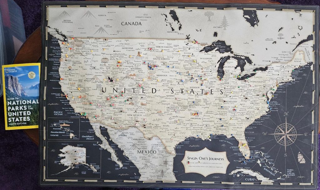
As I added pins for each trip I posted about, I took pictures of those additions to the map, beginning with my first entry in 2008:

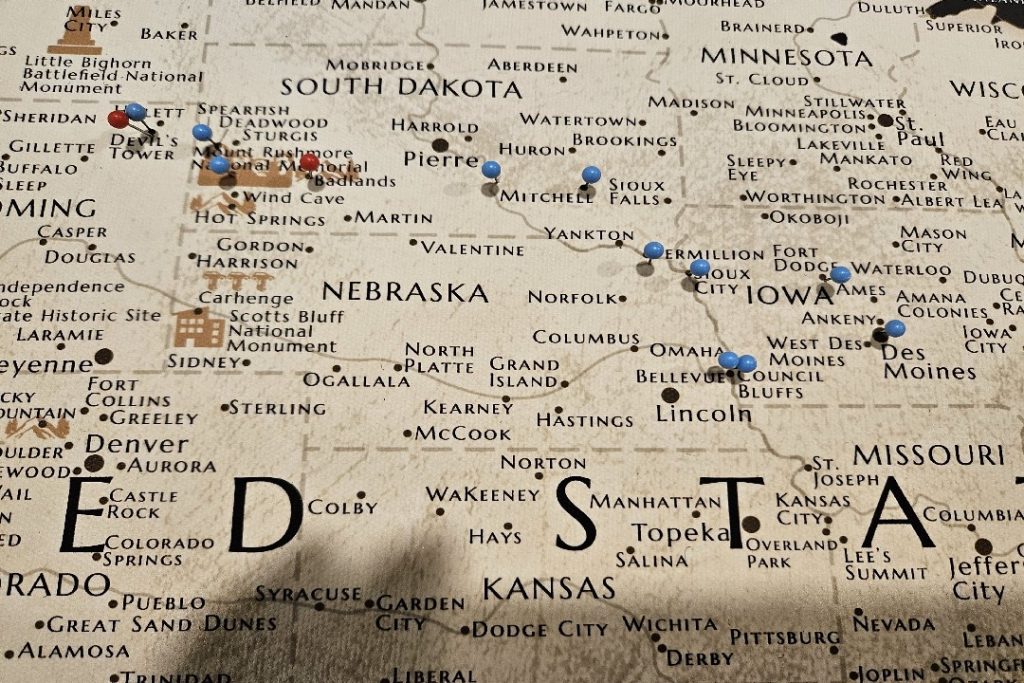


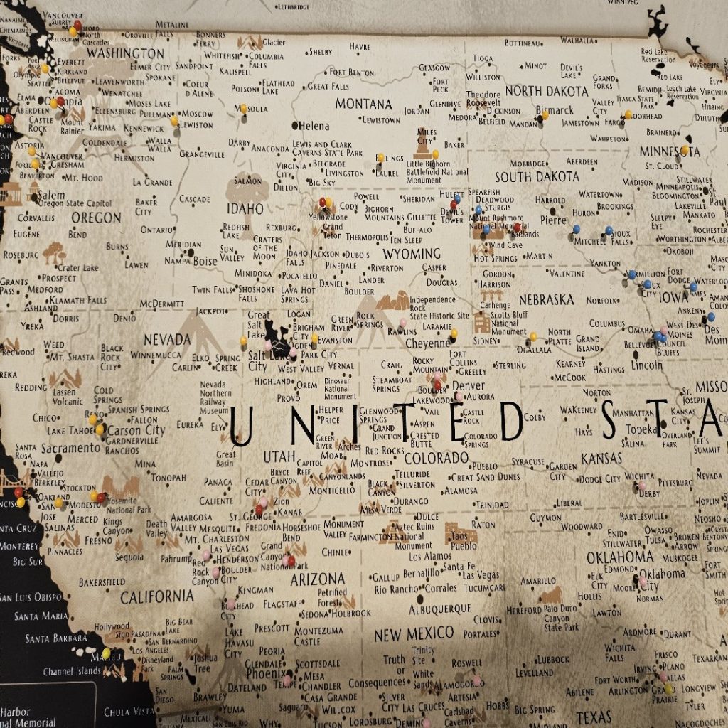


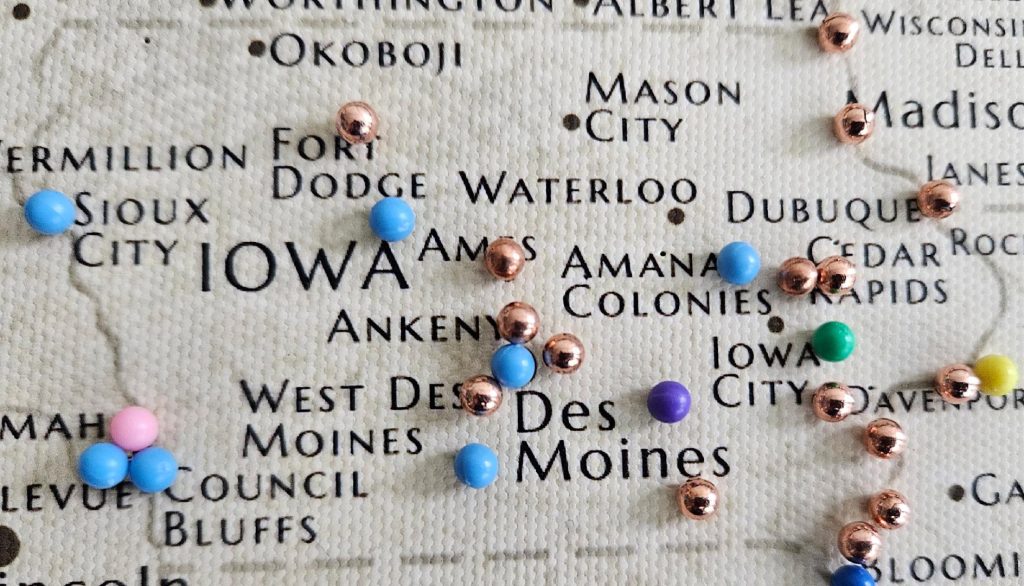
As I worked on this post, I realized that I had to more completely note the places I visited in Iowa. So, I added rose colored pins for the many interesting stops I referenced over the years, and I added a purple pin for my 18-year-long homebase, Grinnell. The map is below.
|

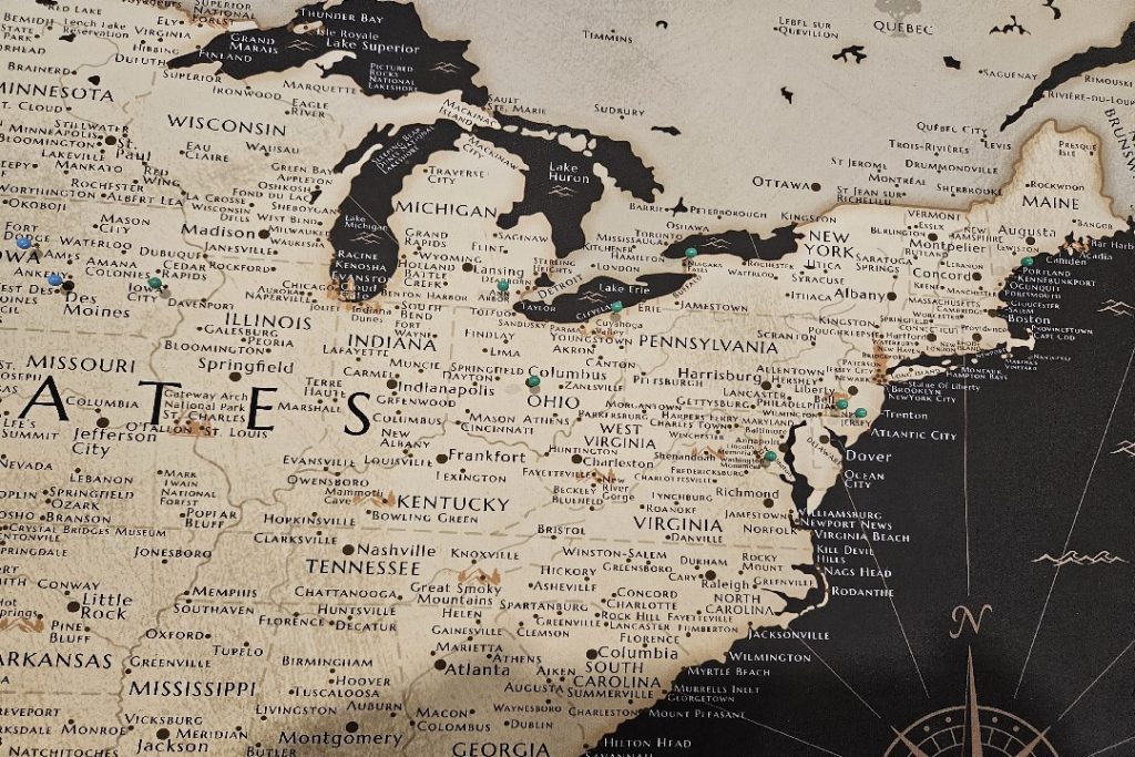
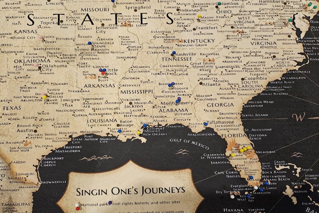
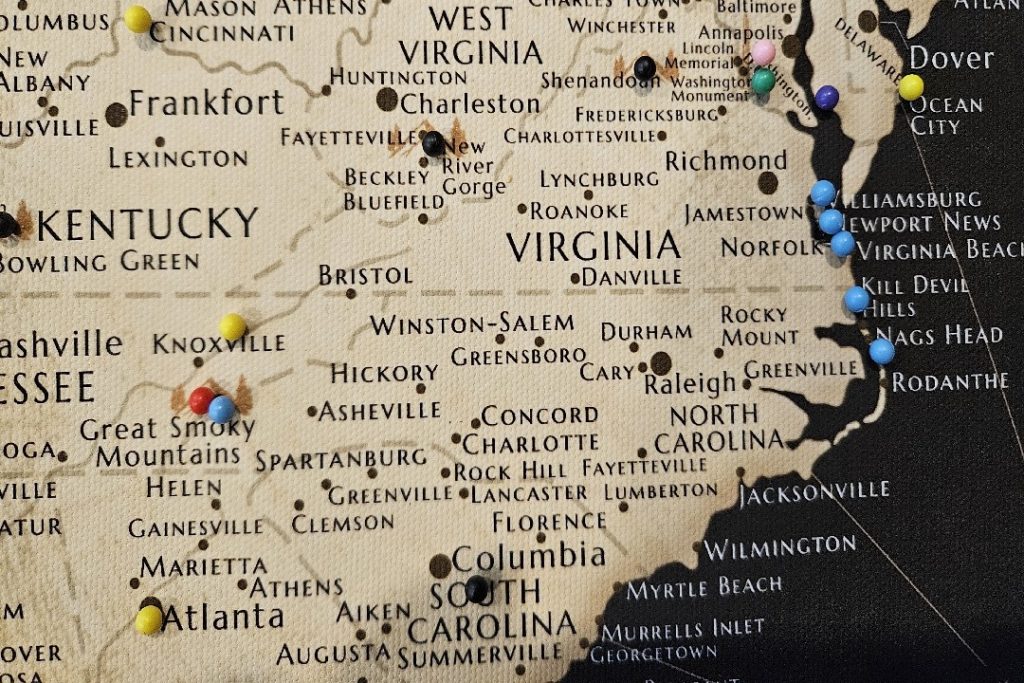
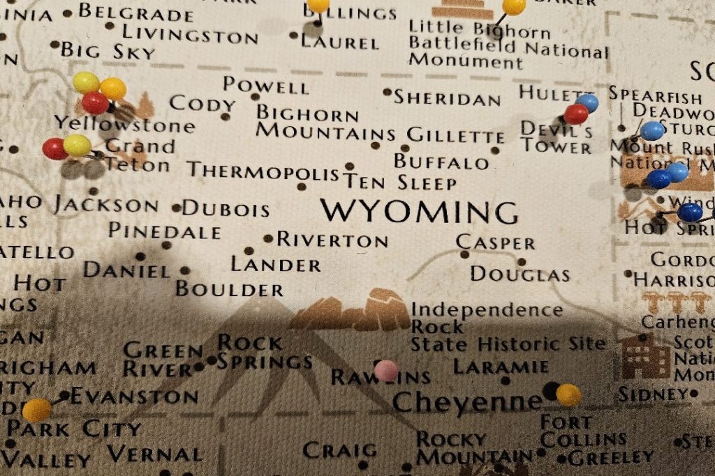
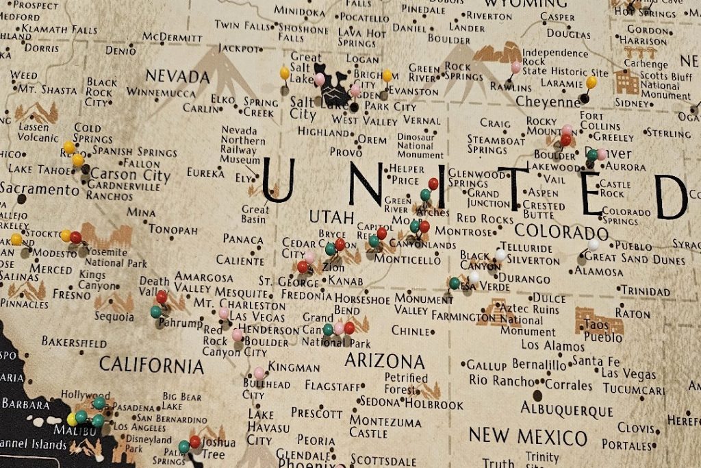
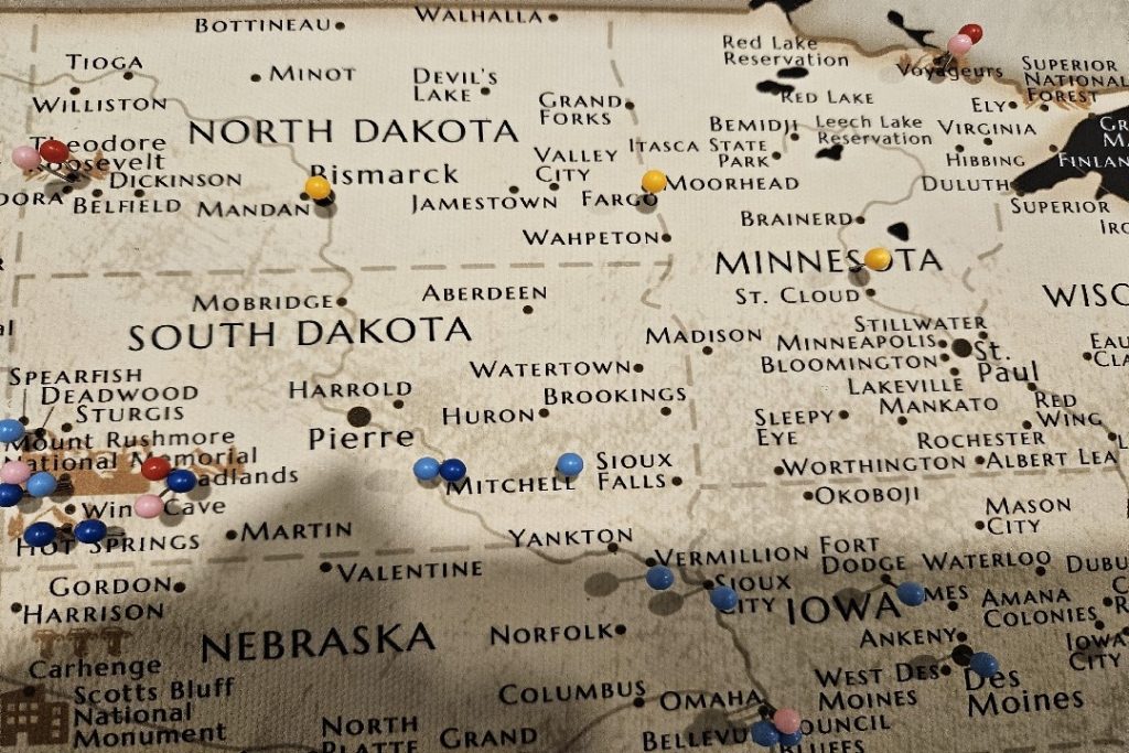
 Locations with yellow pins are generally single-stop visits for conferences, etc. Locations with yellow pins are generally single-stop visits for conferences, etc. |
 Red pins mark US national parks that I have visited at least once. Each should also have at least one different colored pin to indicate the trip(s) during which I visited the park. Red pins mark US national parks that I have visited at least once. Each should also have at least one different colored pin to indicate the trip(s) during which I visited the park. |
 Black pins indicate the national parks I have not yet visited. The pin will change to a red one when I visit the park. Black pins indicate the national parks I have not yet visited. The pin will change to a red one when I visit the park. |
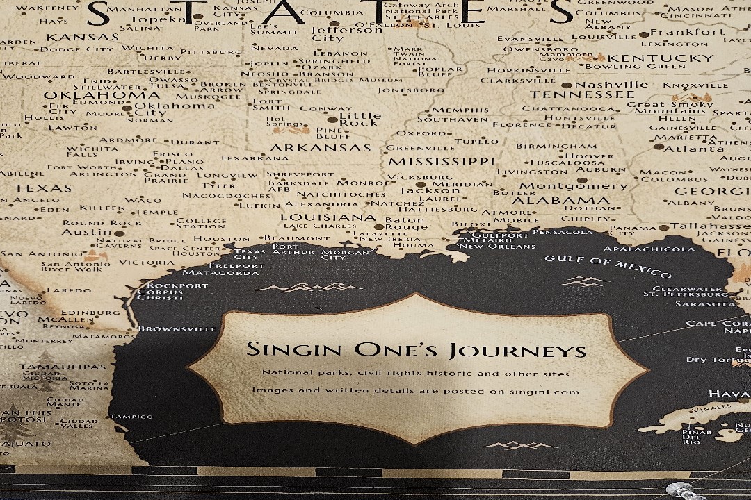
 Gold pins typically mean the site has connections to the Civil Rights Movement or other related historical sites. Gold pins typically mean the site has connections to the Civil Rights Movement or other related historical sites. |
| When new journeys are added, photos of the updated map will go on the new post. |
Discover more from Singin' One's Journeys
Subscribe to get the latest posts sent to your email.