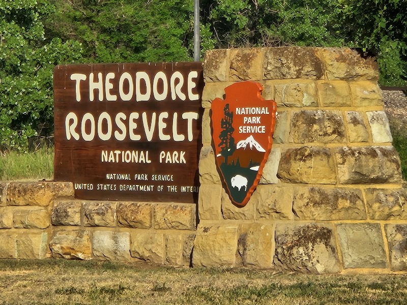
 Theodore Roosevelt National Park is made up of three “units” in western North Dakota. I reached the town of Medora and the entrance to the Southern unit around 6:45 a.m. Sunday morning. Since the visitors’ center was not scheduled to open until 9:00, I sat in the Silver Bullet and started reading to kill the time. Fortunately, a ranger saw me there, and he kindly gave me a map of the park and suggested I not wait to drive the scenic route (BTW, I had already informed him that I had my senior pass so the entry fee was not an issue). He said that the badlands provided stunning views whether I stayed in the car or hiked the available trails.
I’m so glad I took his advice. The early morning was beautiful with clear skies–a concern I had had about the entire trip with the smoke from forest fires in Canada. The temps were comfortable for me, and the dearth of other cars meant I could drive as slowly as I wished without affecting anyone else. I did get out once and walked the 1/10 mile Skyline Vista since it was paved with a slight incline.
In addition to the magnificent views, I saw more wildlife in this park than in any other. From a prairie dog to a herd of buffalo to wild horses, the park was teeming.
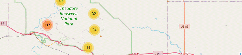
I took over 200 pictures during my journey around the Scenic Loop Drive. They are uploaded to my page at singin1.com/piwigo/index.php?/category/mini-nwnp-day-2-june-2023. In addition to the metadata about individual pictures, there is also a map of the locations where the pictures were taken, if that is of interest to anyone besides me.
A portion of the road was under construction and closed to access, so I turned around and returned the way I had come. By this point, it was approaching 11 a.m. The road and each view point, especially the area where the herd of buffalo still grazed, was loaded with visitors. When I pulled in to the parking lot at the visitors’ center, I could now only find one parking space, one of the accessible ones near the center. The ranger who spoke to me earlier happened to walk by as I was about to get out of SB, and I had to thank him for suggesting that I get out early.
My trip into the visitors’ center was brief since I did not plan to see more of the park. However, I did want to get my national parks passbook stamped and get a walking stick medallion, which I’ve been collecting since early into my parks’ visitations. That done, my plan for the rest of the day was to get brunch (too late for breakfast, too early for lunch) and get my route to my next destination.
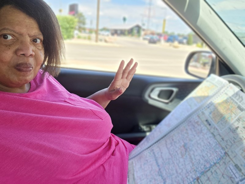
I got something to eat and discovered that I couldn’t find a wifi signal to get the route from Waze. No worries! I haven’t made a trip to the northwest yet where I didn’t lose Internet access at some (or many) points along the way. I pulled out my constant companion, my road atlas of the United States, and manually found my route across North Dakota. I won’t lie by suggesting this was a complicated effort since I-94 will take one directly across the state.
 |
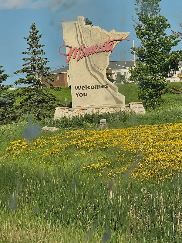 |
I had no difficulty eventually getting to Minnesota and re-acquiring a wifi signal to get a GPS route up the state. I was making good time until a deer ran onto the highway and only the good reflexes the Lord blessed me with kept me from hitting the deer. This served as my hint-hint to call it a night.
Discover more from Singin' One's Journeys
Subscribe to get the latest posts sent to your email.