Saturday morning, but I got off to an early start in the hope of beating the crowd into Mt. Rainier National Park. First things, first, though. I discovered you don’t enter one of these parks low on gas. There’s usually no gas station inside, and you can potentially be miles away from one. So, I gave RB a half-tank (at $4.16 a gallon, I wasn’t going to fill her up).
(A side note: when I left Des Moines, I filled RB up at a gas station that charged $3.39 a gallon. It’s going to be a long time before I complain about our prices again!!!)
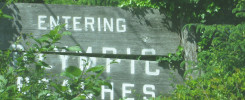
Mt. Rainier is HUGE. Much of it seems to be geared to the climber and the hiker, but there is plenty of roadway for the auto tourist. The red lined route I drove is below, going from the yellow highlight on the left to the one on the right:

To get a sense of the park’s real size, though, you can look at this map and look at their website. There was so much, I snapped 125 pictures along the way, sometimes using the turnouts conveniently placed to let us vacationers get out of the way of those driving through, and sometimes leaving RB in the middle of the road if no one was around. I’m afraid I couldn’t capture the beauty of the scenery, but hopefully these selected shots can suggest what RB and I got to enjoy.
It was Saturday, so it wasn’t surprising that the park was more crowded than any others had been to this point. However, it still seemed to be less busy than it could have been and would be once the summer season really gets underway. As we left the park that afternoon, there was such a long line of cars waiting to get inside from the other direction, I saw a clipboard-toting ranger doing what looked like advance work with cars in the back of the line to hopefully get them through faster.
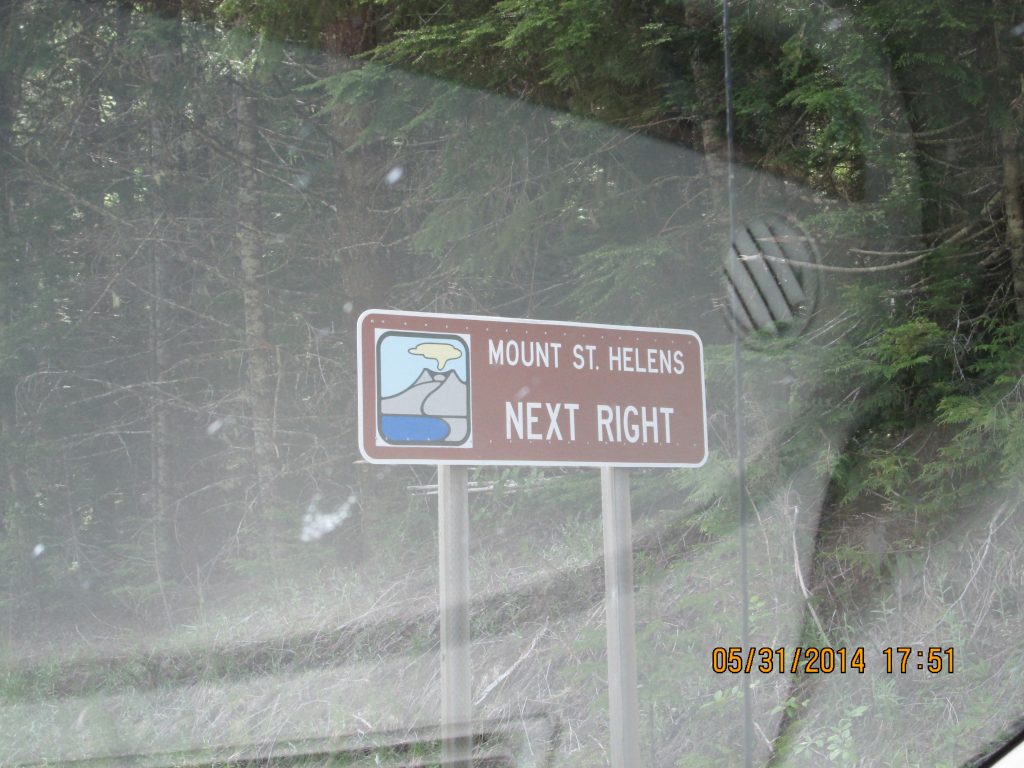

As we were driving towards Oregon, I saw a sign pointing to Mt. Saint Helens and decided I wanted to see it. Unfortunately, about 20 miles down the road leading to the volcano, the road was closed!! So, unfortunately, that particular divergence from my “planned” route didn’t pan out. I had another shot from I-5, but with the escalating gas prices, I have to be more careful about unscheduled side trips.
Just on the Washington state side of the border, there was a little town of Vancouver that had a fort I wanted to check out. My second strike out for the day was to discover they closed at 5 p.m., so I took a few shots of the exterior and moved onward. Oh well, one of the downsides of not always knowing where you’re going next. Still, I’m really enjoying this trip.
Crossed into Oregon in the evening. This is the fourth state I’m visiting for the first time. No pictures of the welcome sign because the sad little sign they used to mark the entry from I-5 wasn’t worthy of capturing. Portland is right over the border. Too bad it’s likely to be no more than a drive-through for me.
 Music for the Trip

There are no superlatives too excessive for the performers I heard on the R’s portion of my playlist. I rocked to Ray Charles, Ray Stevens, Rick James, Roberta Flack, Rod Stewart, and The Rolling Stones.
As we approached Portland, the playlist moved into the early S’s. This meant blowing down I-5 to Sade, Sam and Dave, Santana, and the star of the evening’s show, Sam Cooke. My body was ready to pull over for the night, but my ears sure weren’t!
Discover more from Singin' One's Journeys
Subscribe to get the latest posts sent to your email.