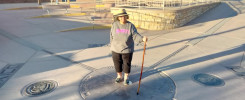
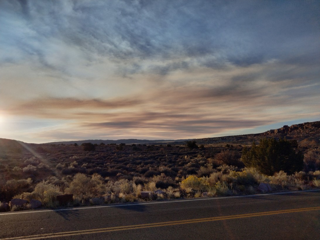
 Another beautiful day!
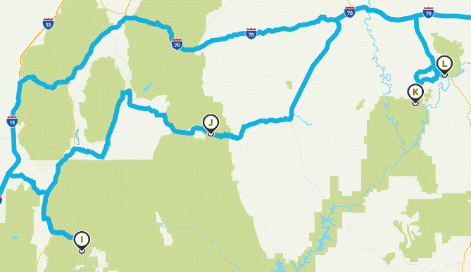
This map displays all four national parks I visited during the trip: Bryce Canyon (I), Capitol Reef (J), Canyonlands (K), and Arches (L).
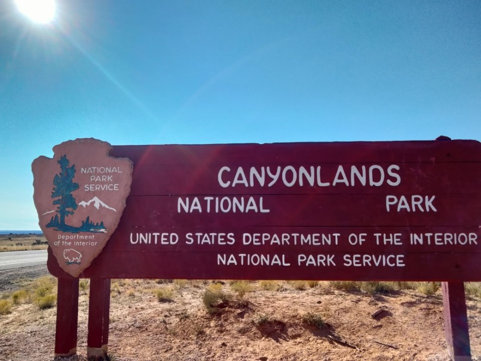
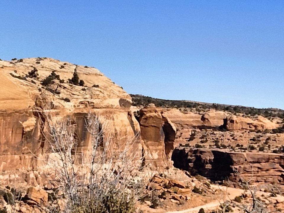
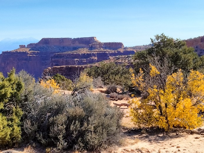
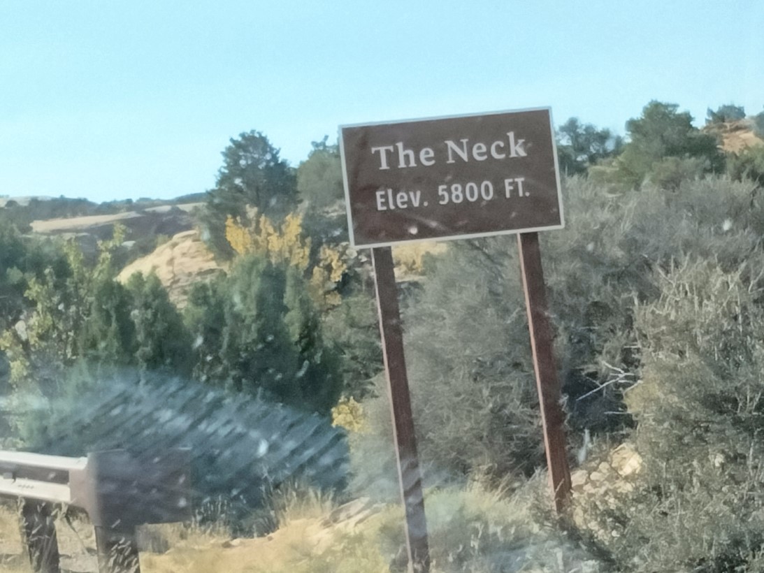
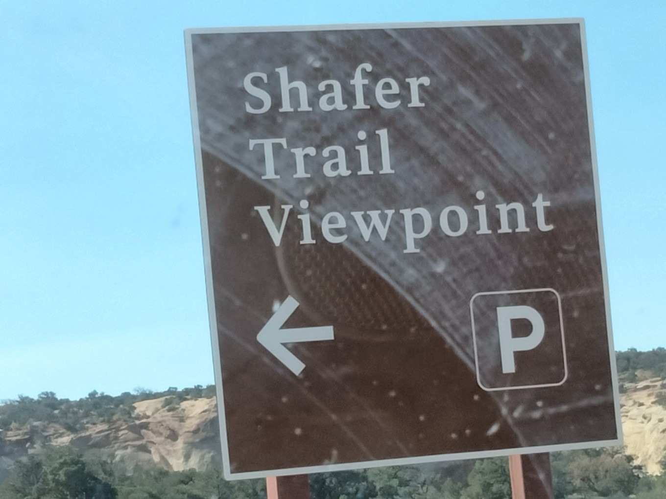
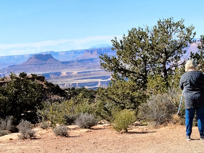
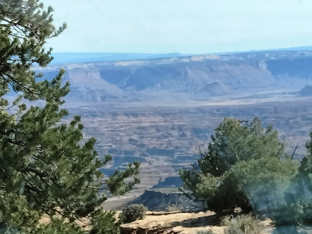
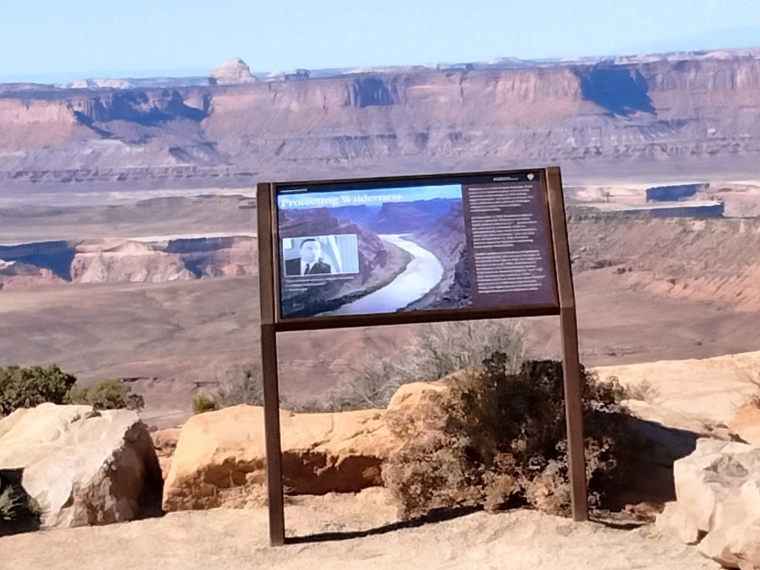
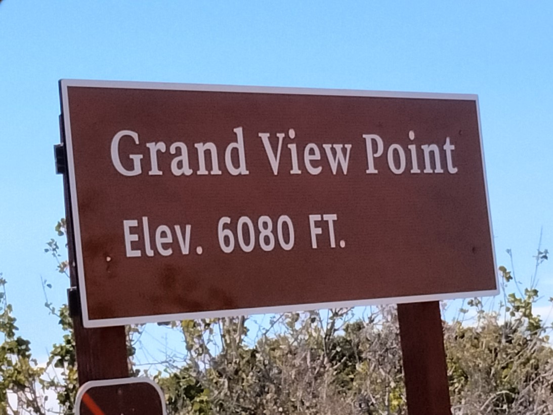
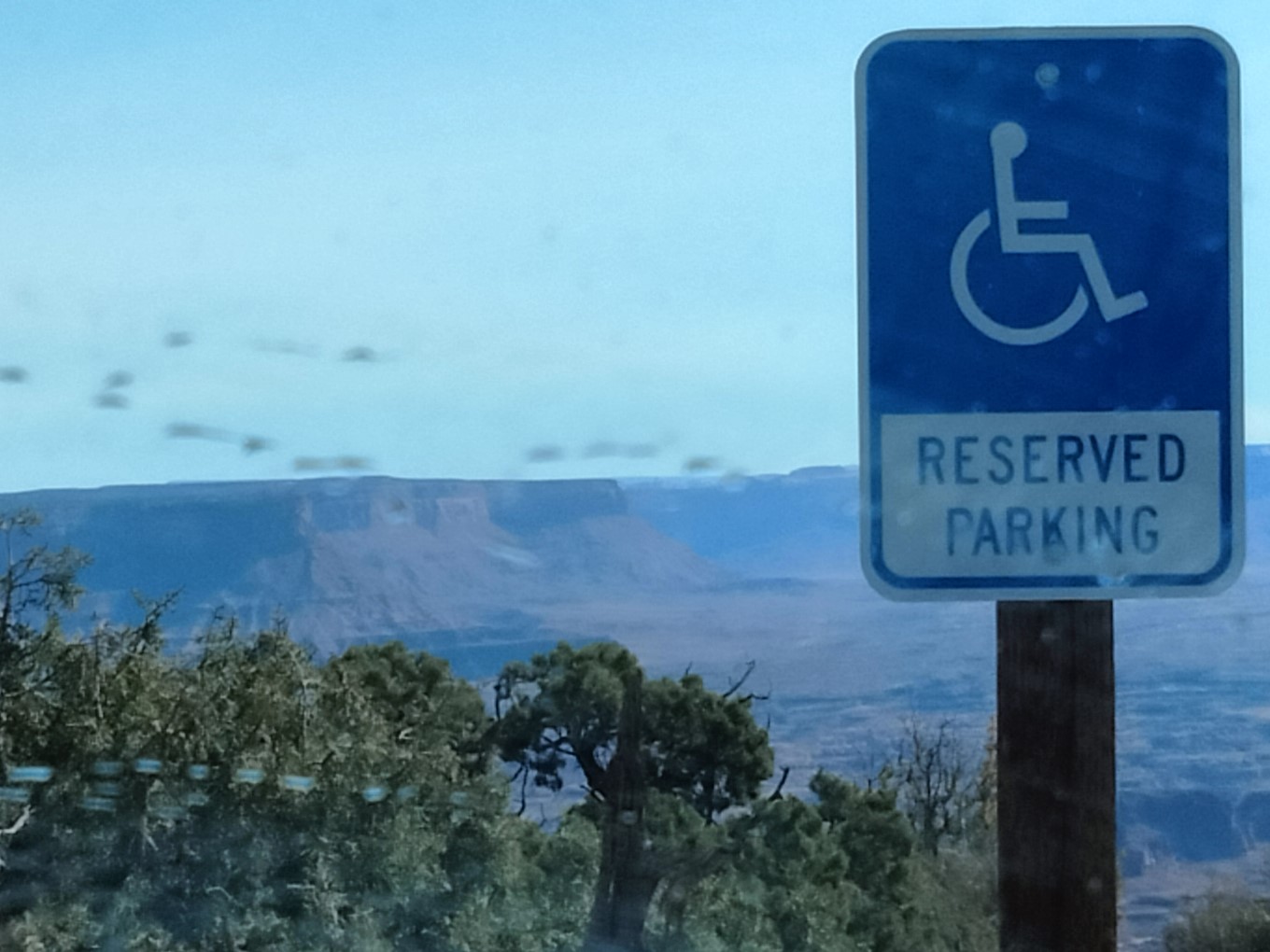
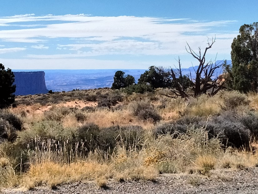
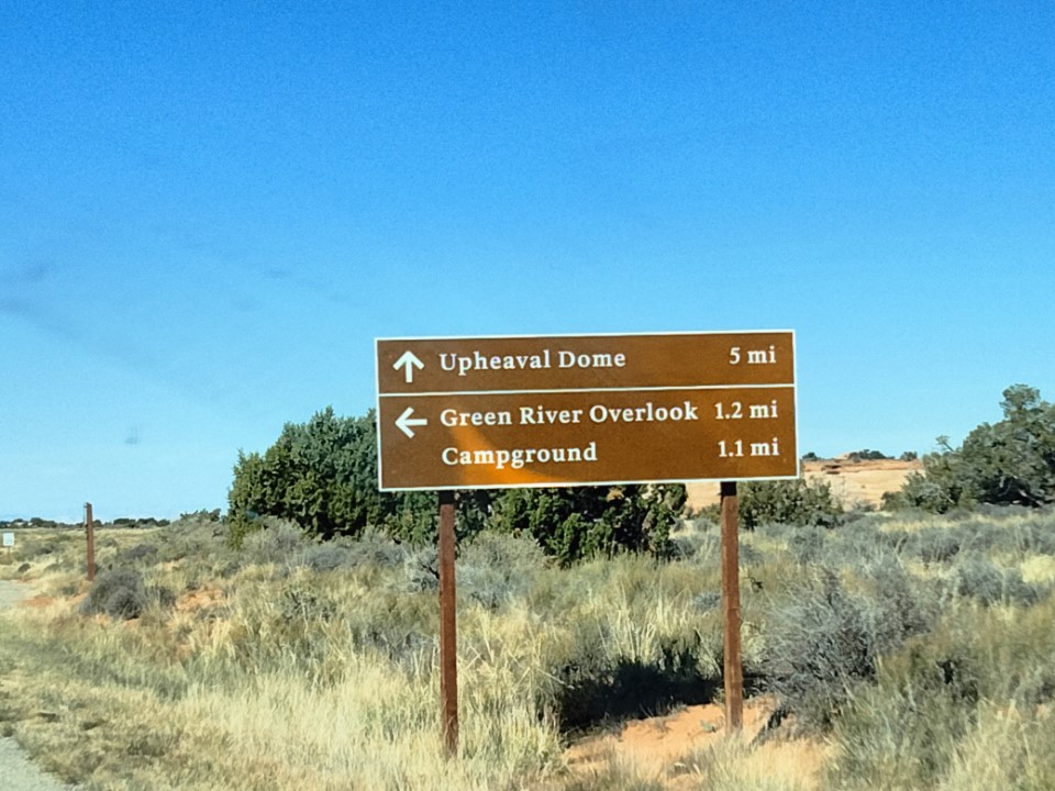
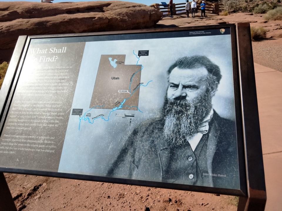
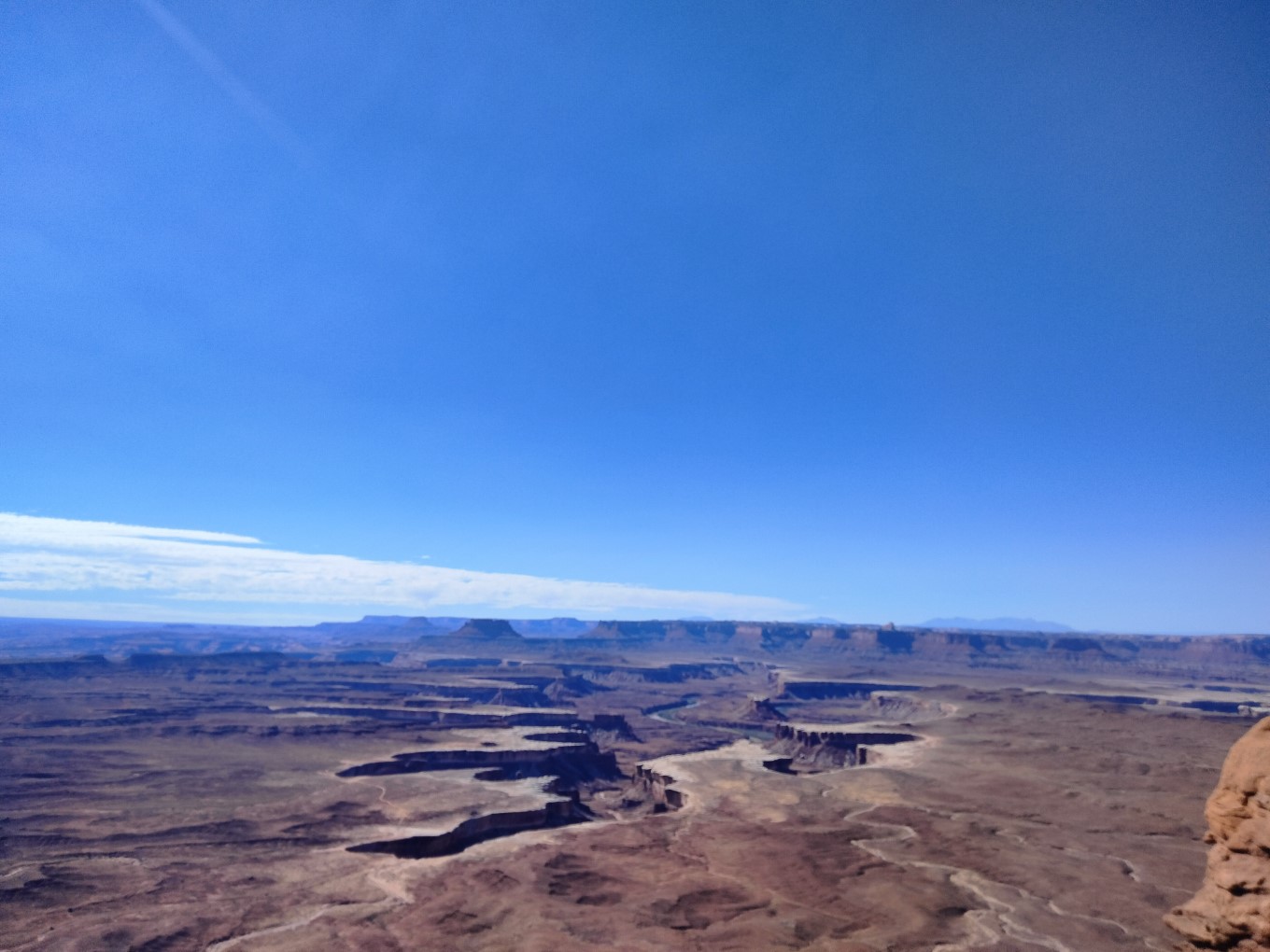
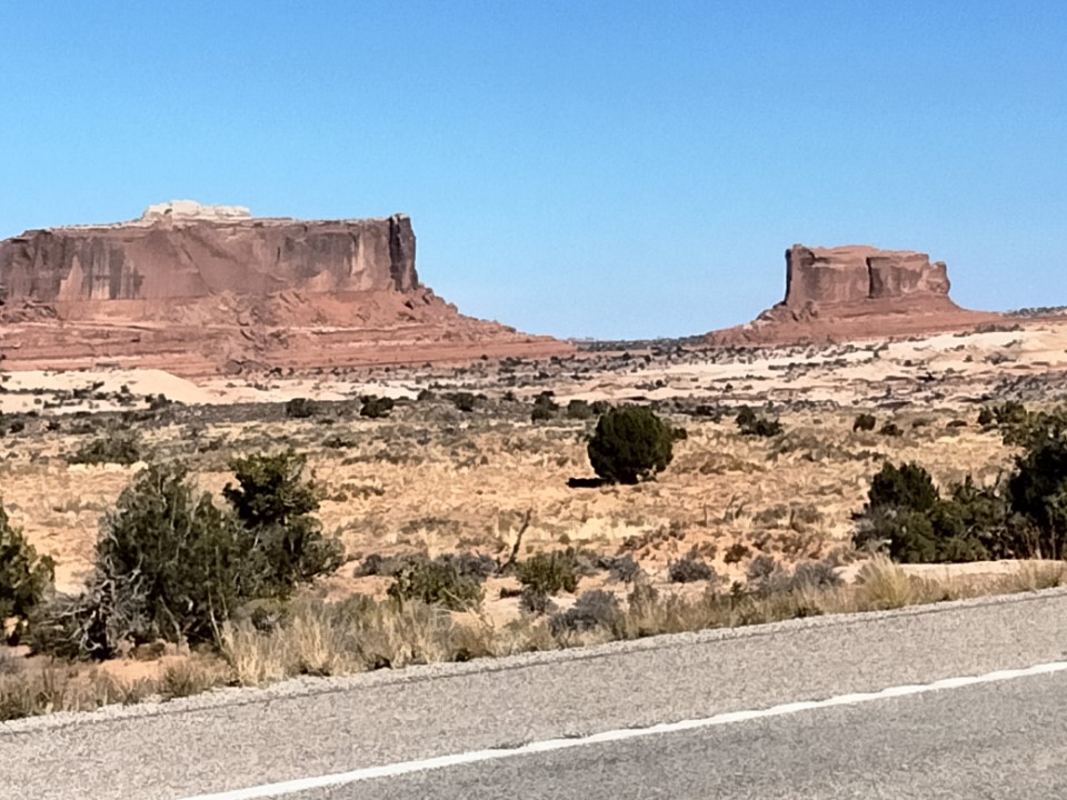
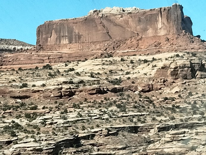
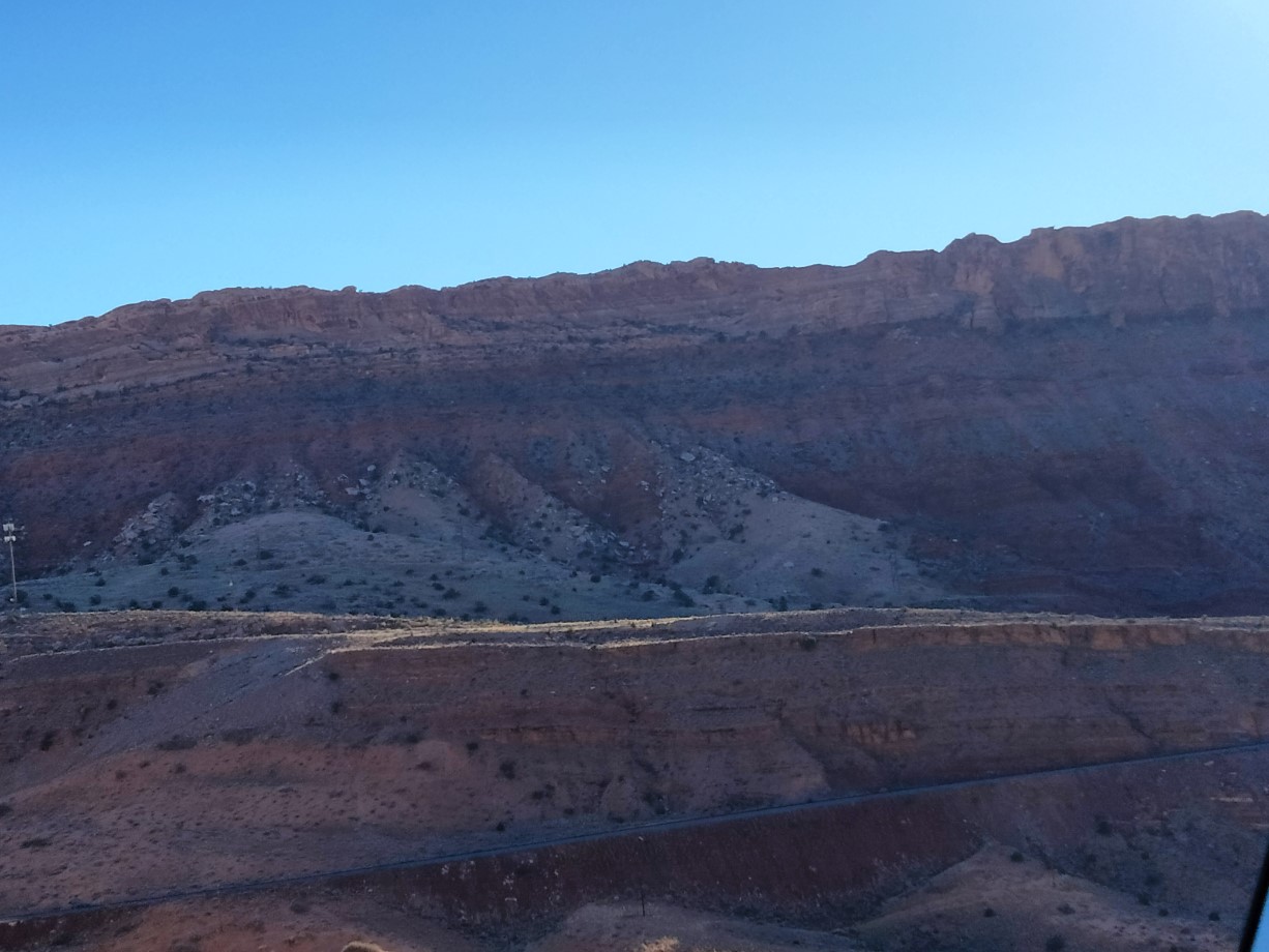
I entered the Canyonlands National Park on Friday morning. It seemed like every time I pulled out of one turnoff after taking pictures, I would pull off the road yet again at the next one to take more pictures of the different scenes. I was also very fortunate that I could take advantage of the accessible parking that regularly placed me close enough to sites to either get great pictures or to get out and have a fairly short walk to those views. I’m not going to try to describe what I saw with words. Rather, I’m going to let the pictures express their thousand words. Oh, one more thing, as usual, clicking on any of the pictures in the galleries should give you an enlarged view of that photo.
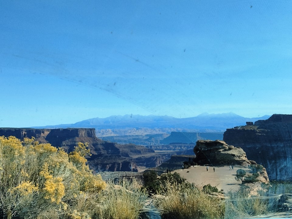
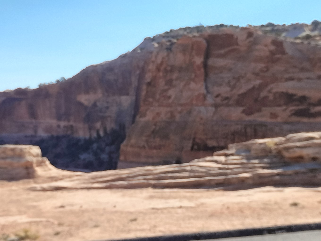
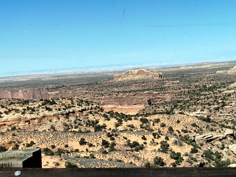
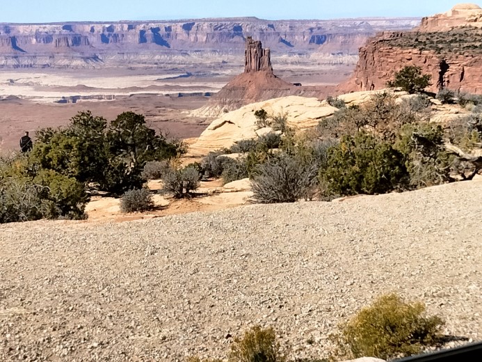
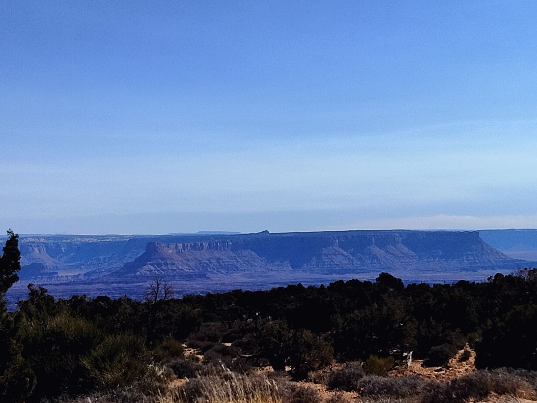
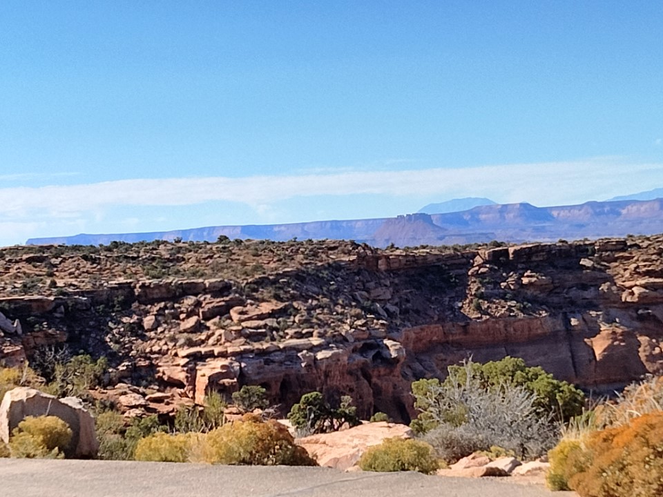
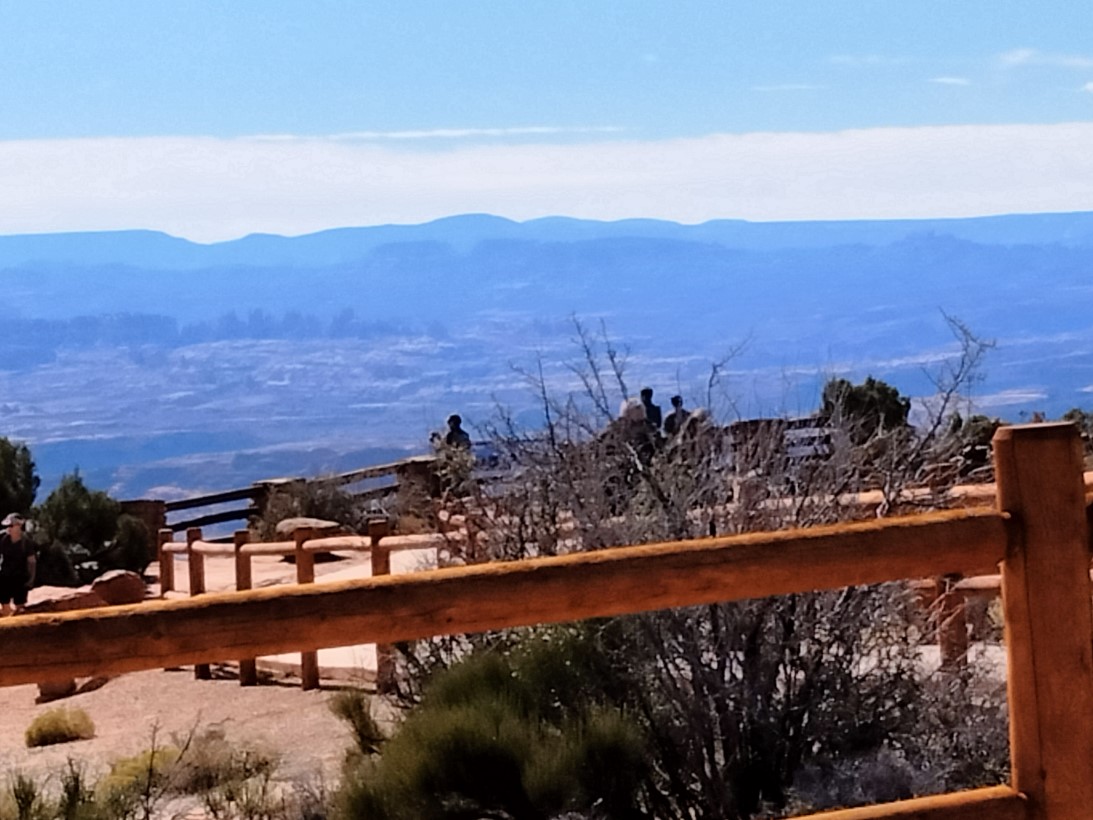
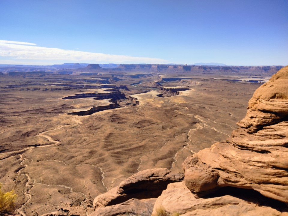
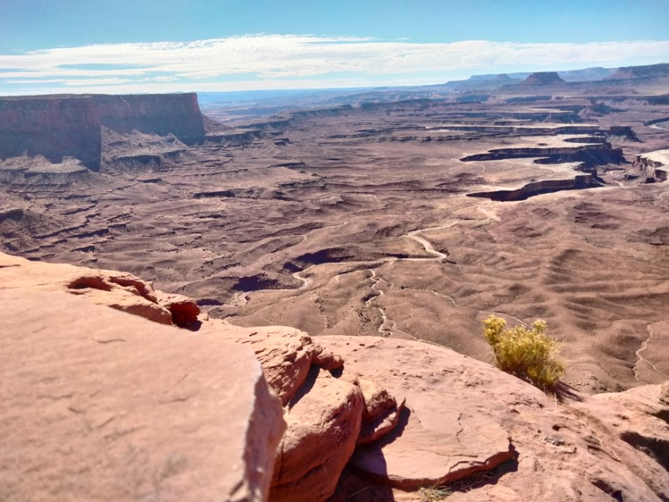
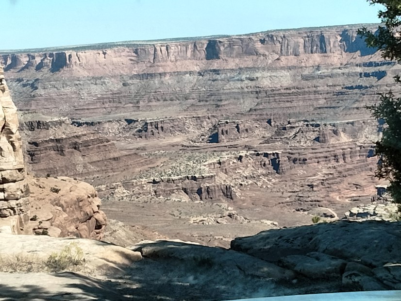
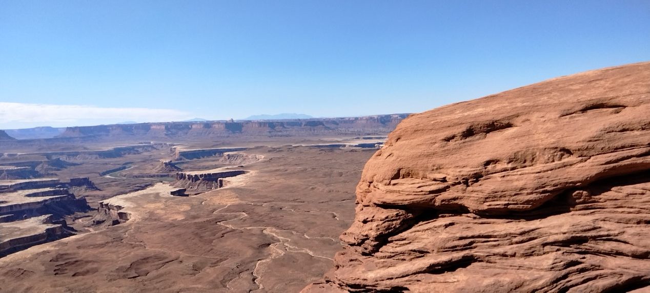
Below is one of the panoramic shots I got. This is the Green River, where you can see the way it cut through and created the canyons over the eons.
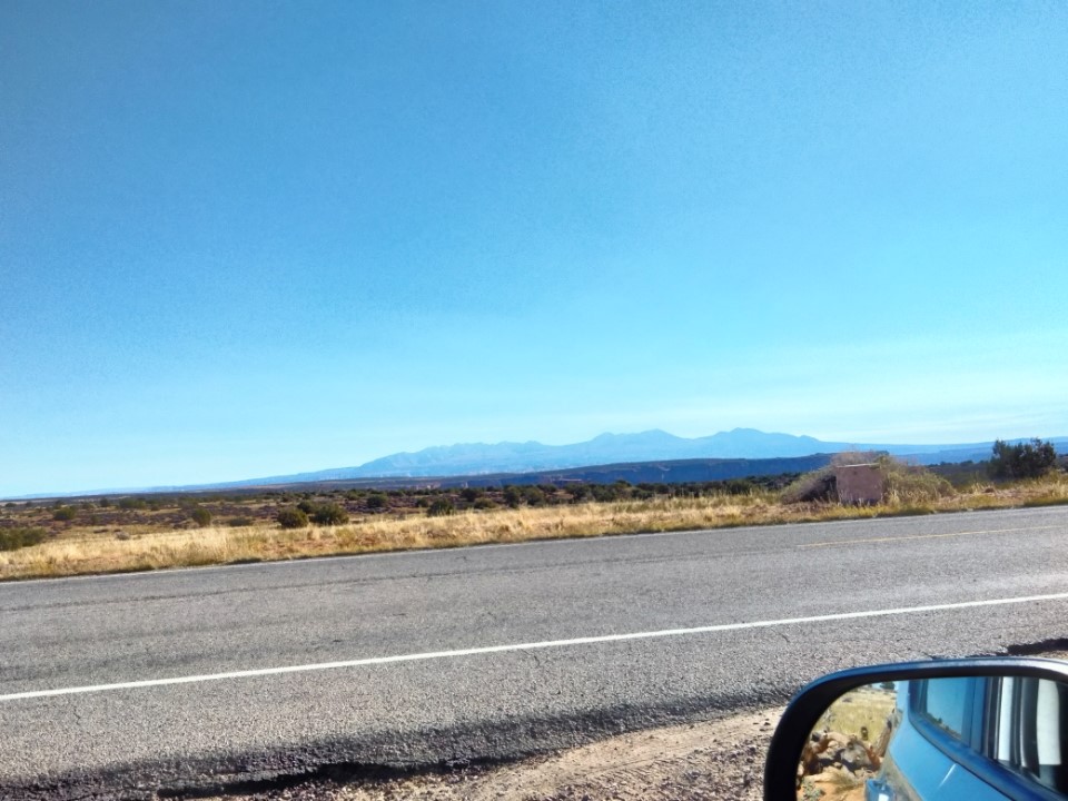
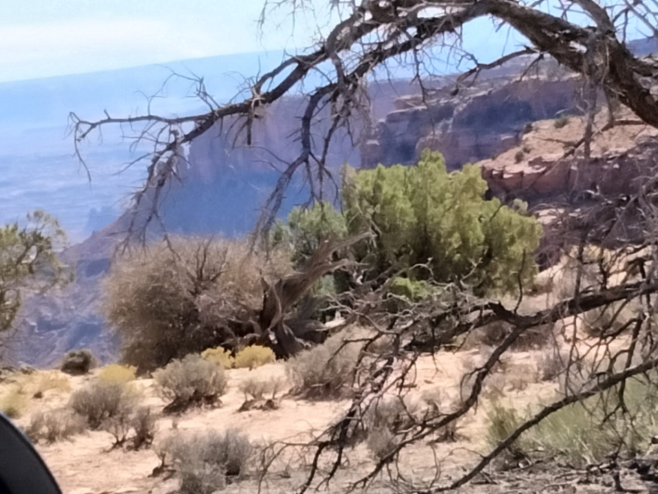
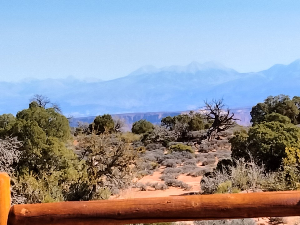
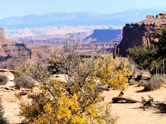
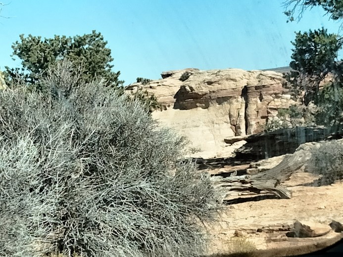
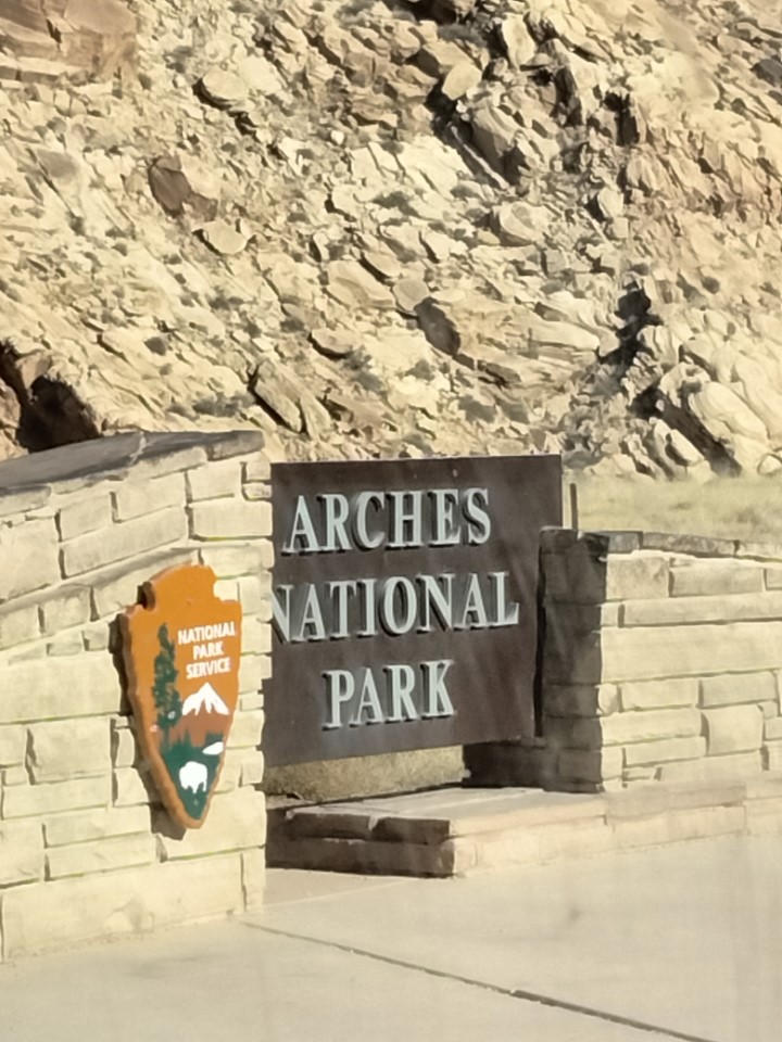
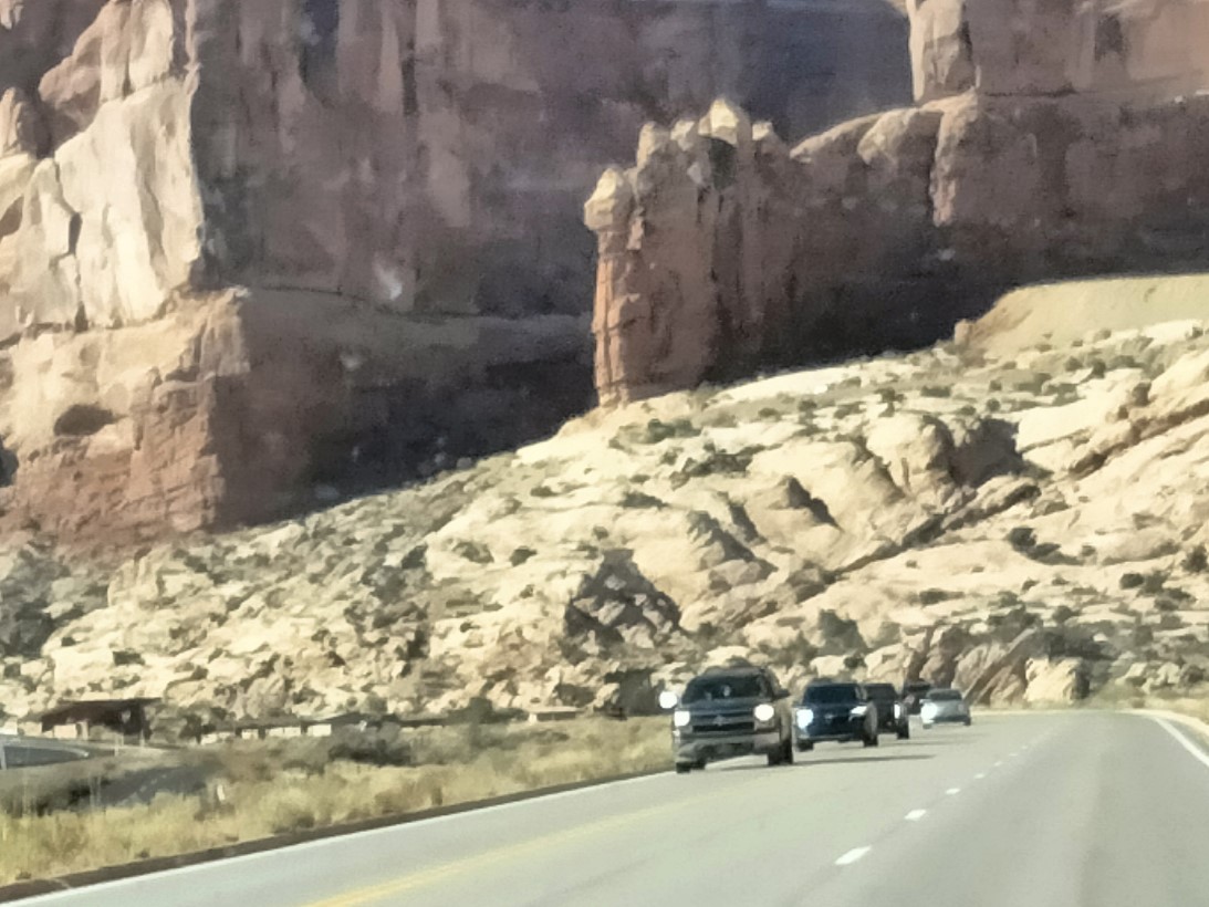
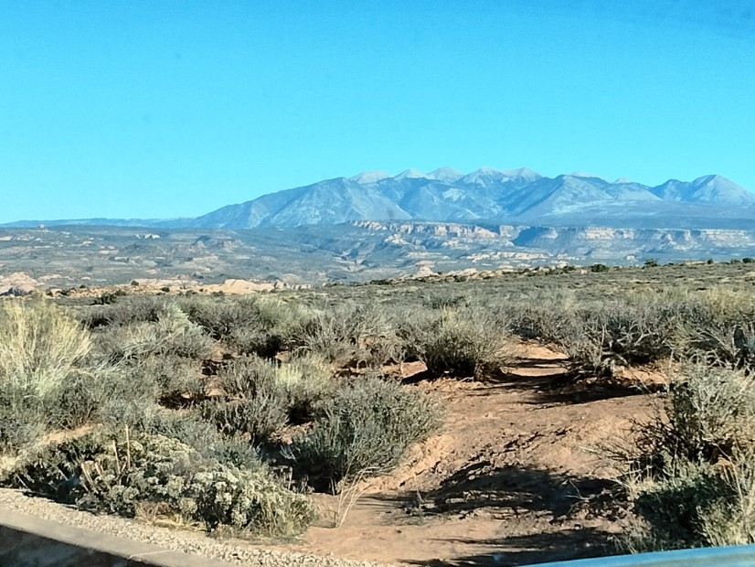
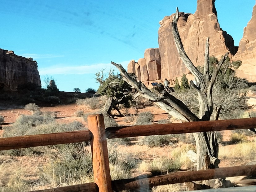
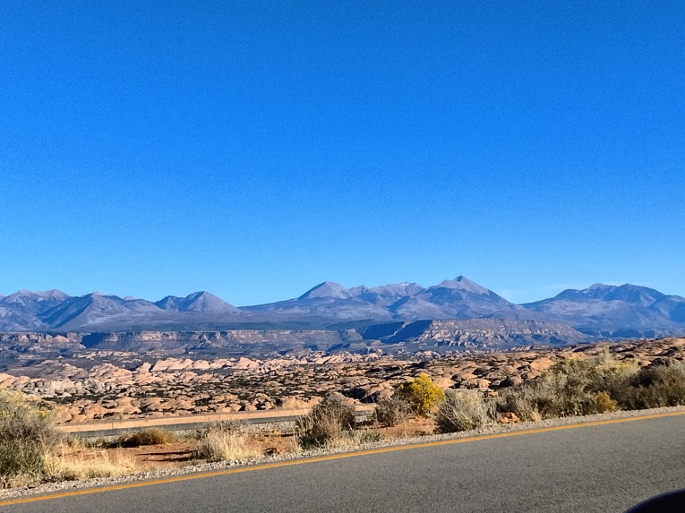
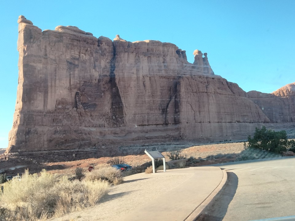
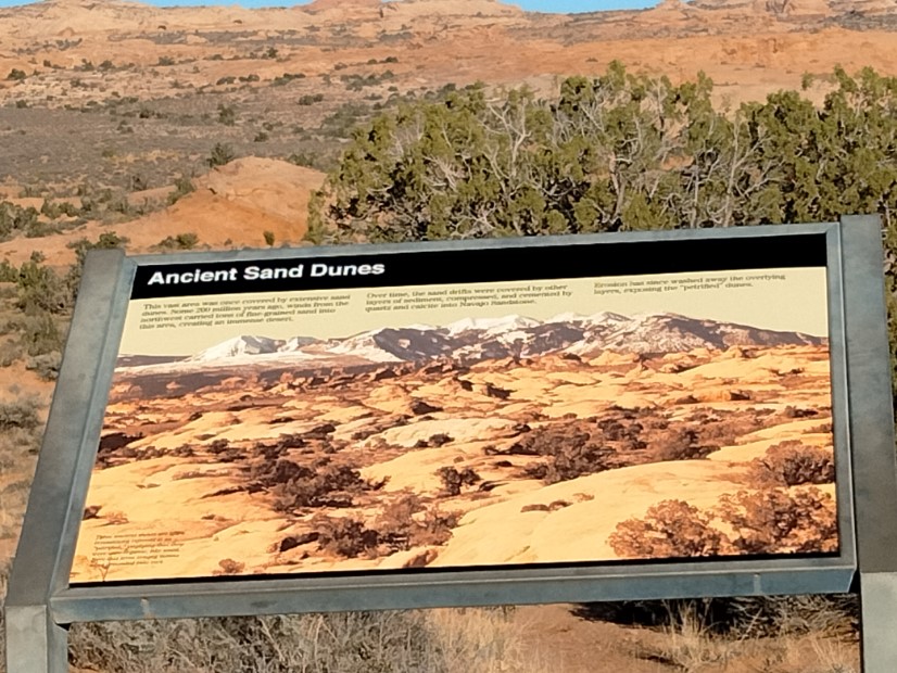
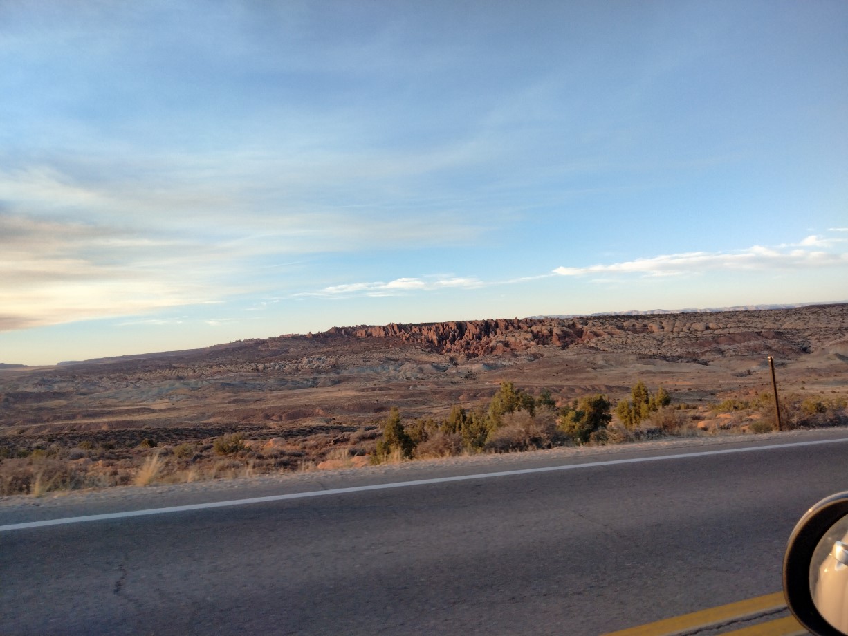
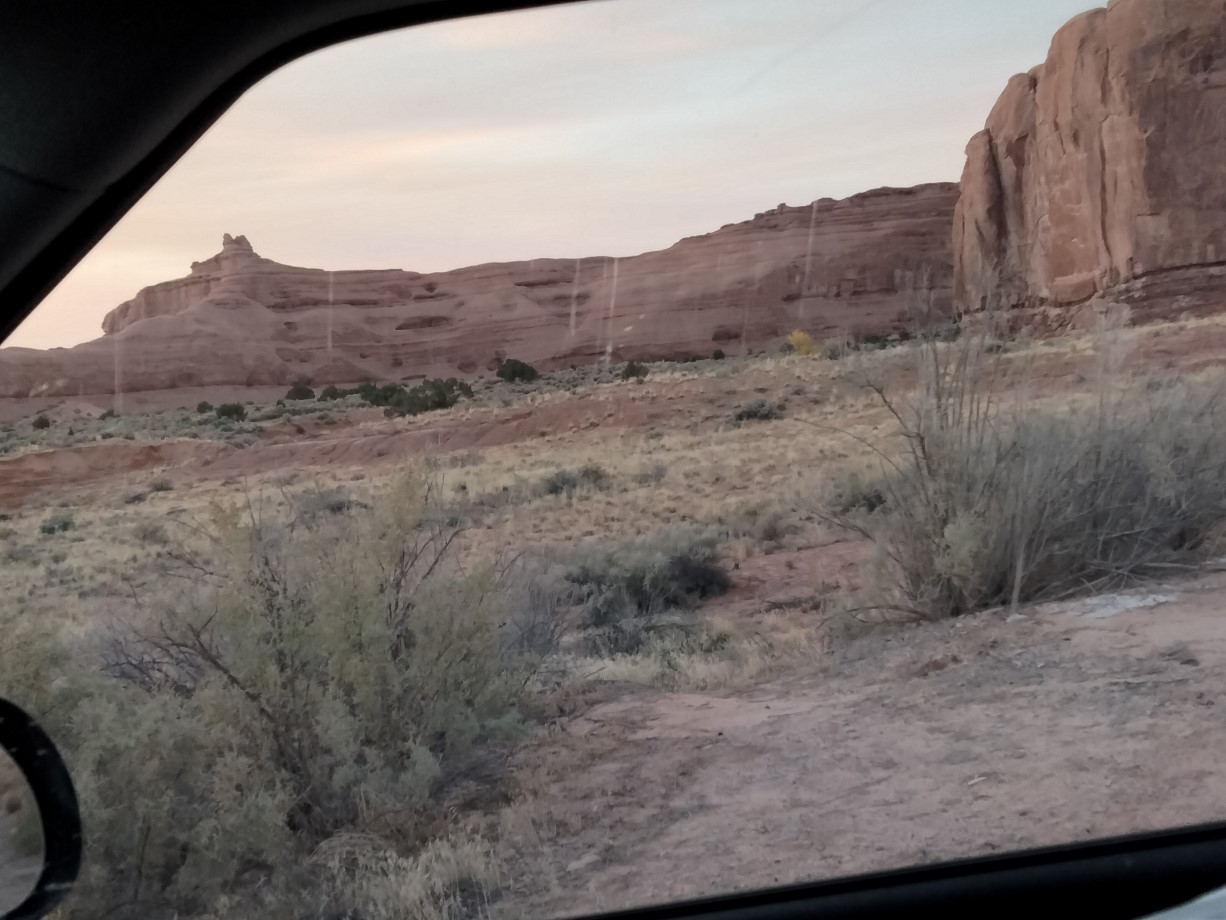
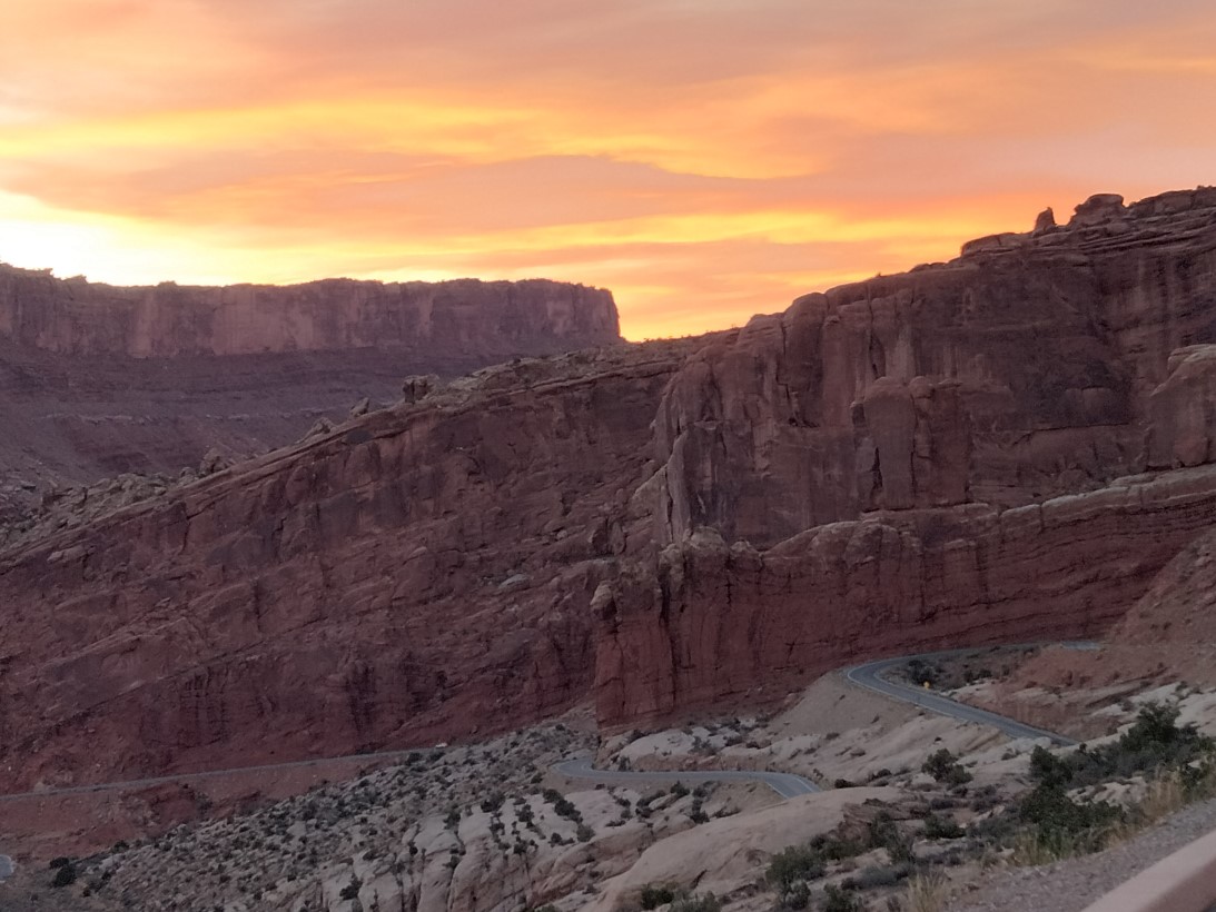
The last Utah park actually was a short drive from Canyonlands. Still, I got several interesting picture along the way.
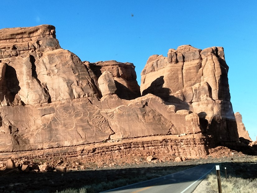
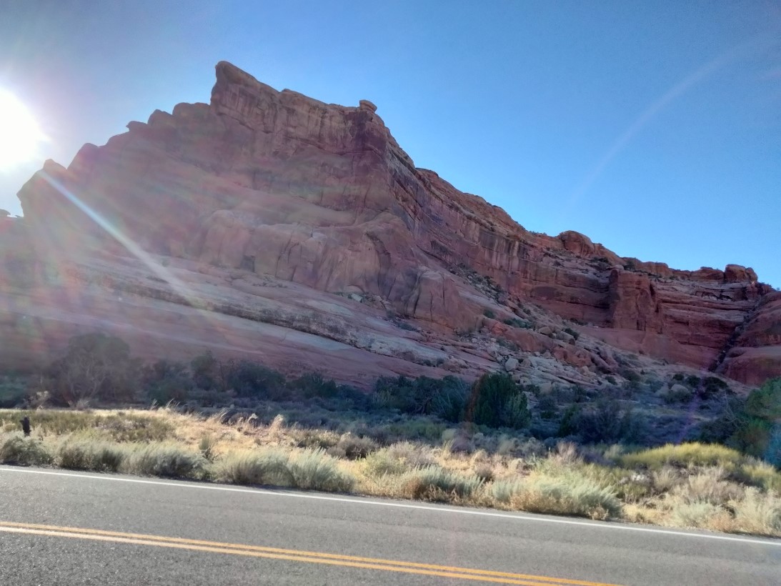
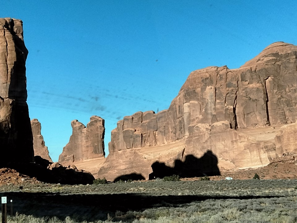
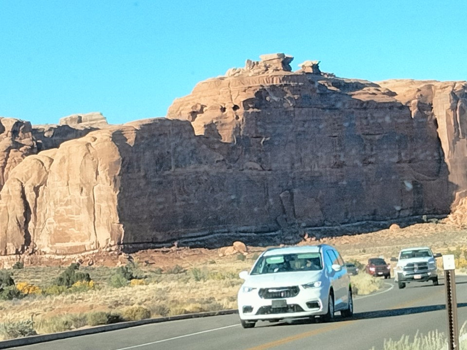
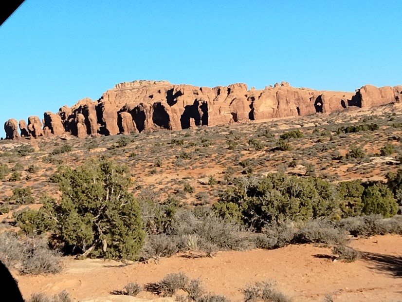
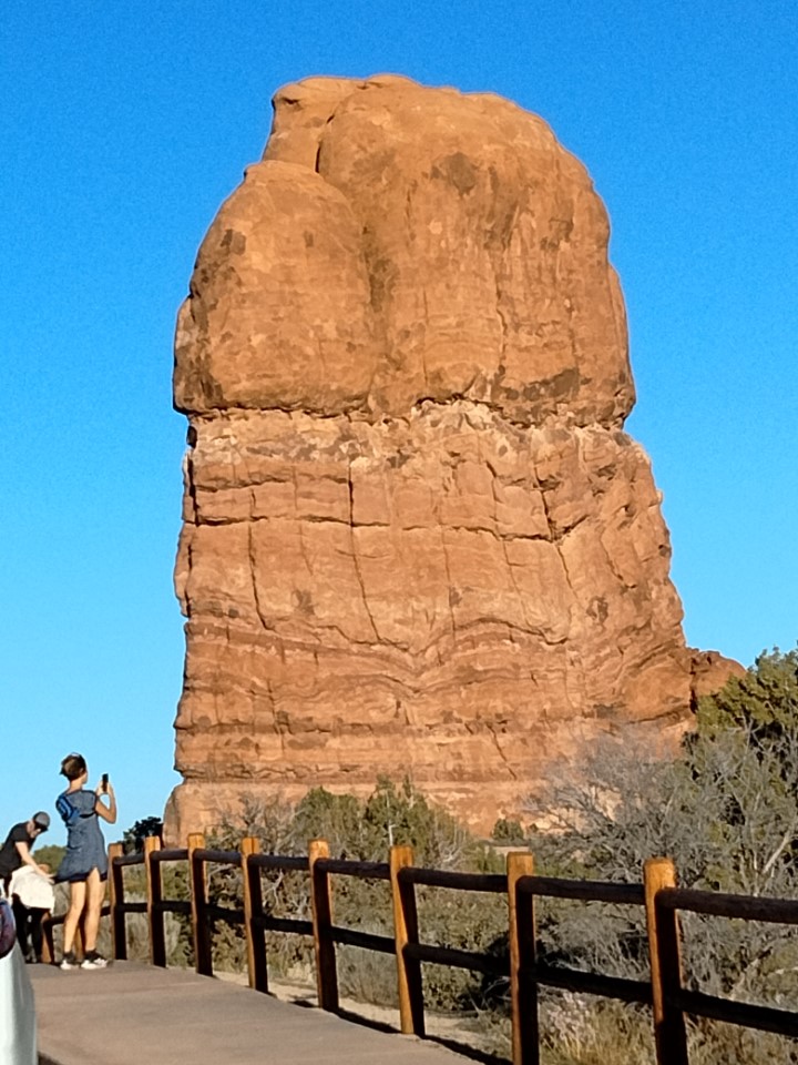
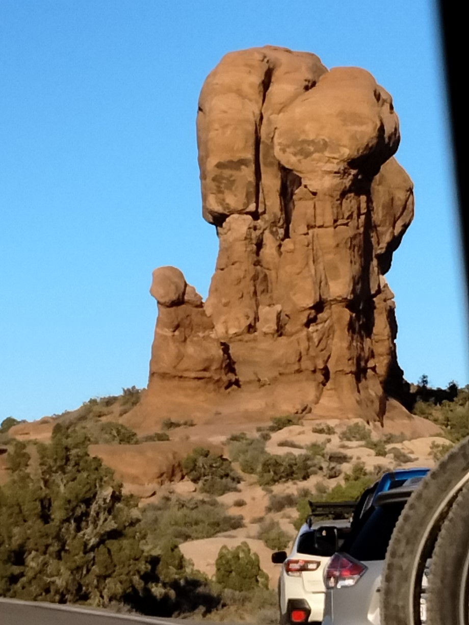
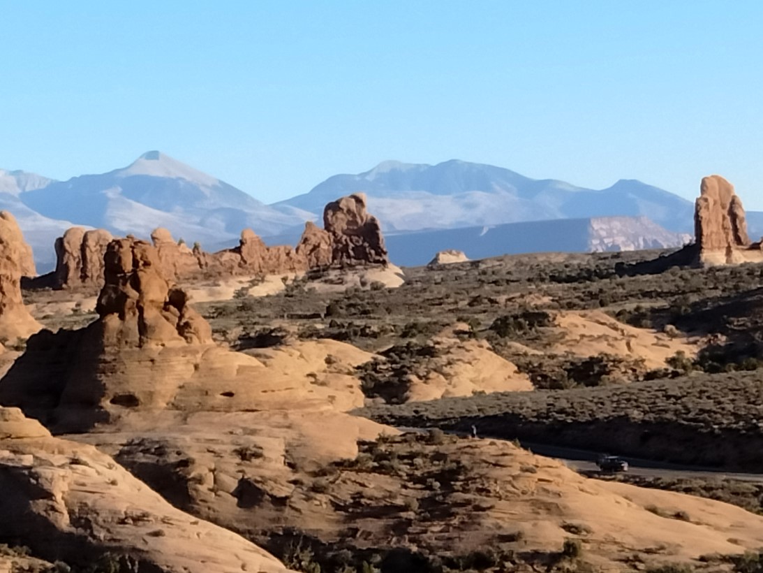
Arches NP’s popularity is second only to Zion NP in Utah. The park was so busy during its peak, folks had to order entry passes online to reduce the numbers in the park in any one time. Fortunately, my visit was not during the peak period. The only signs of the busy season was the presence of two signs on the side of the road. The first I drove pass said that a stopped vehicle near that sign could anticipate an hour wait, and the second indicated a 30-minute wait to get through the park entrance. Thank goodness, a three-car line, no extended waiting when I approached the entrance.
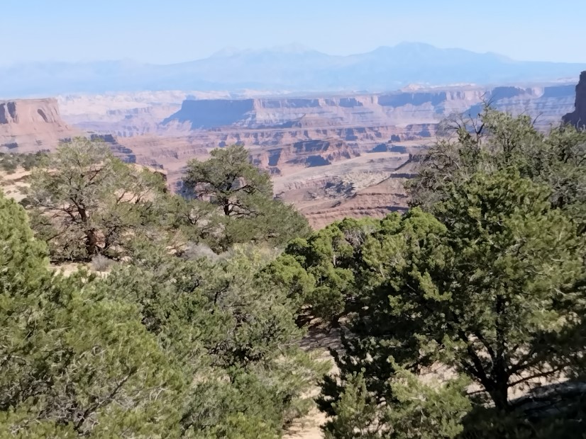
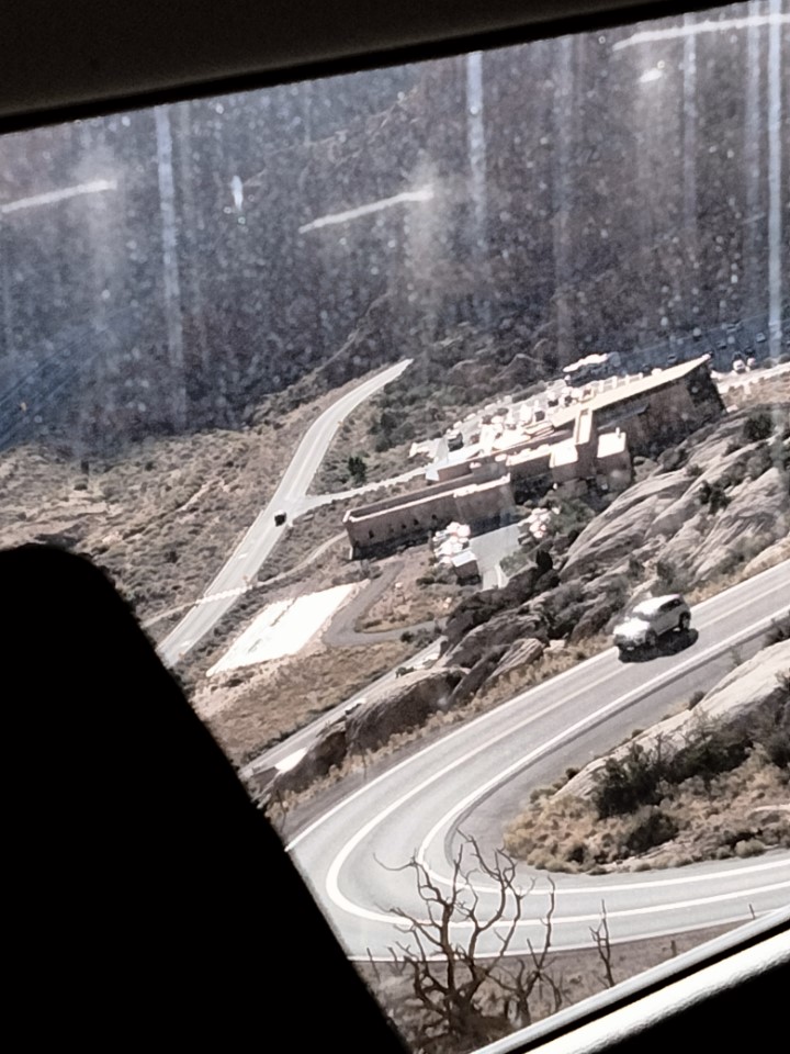
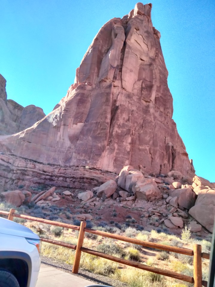
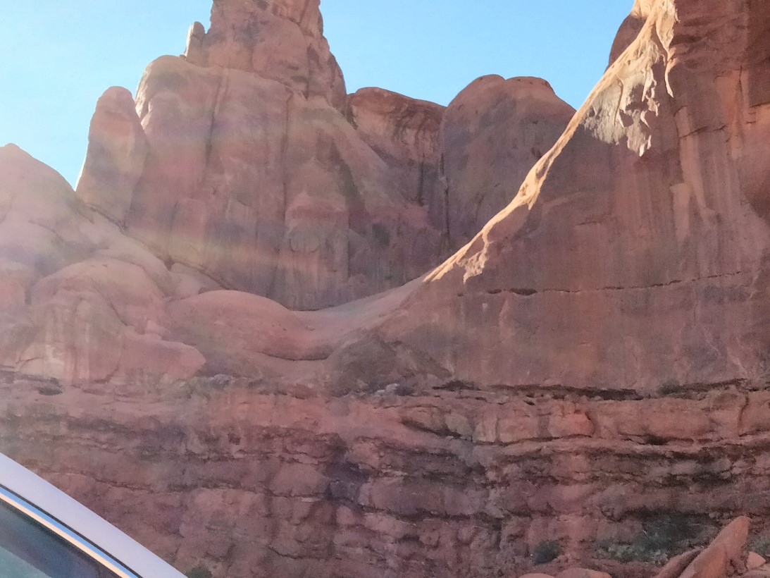
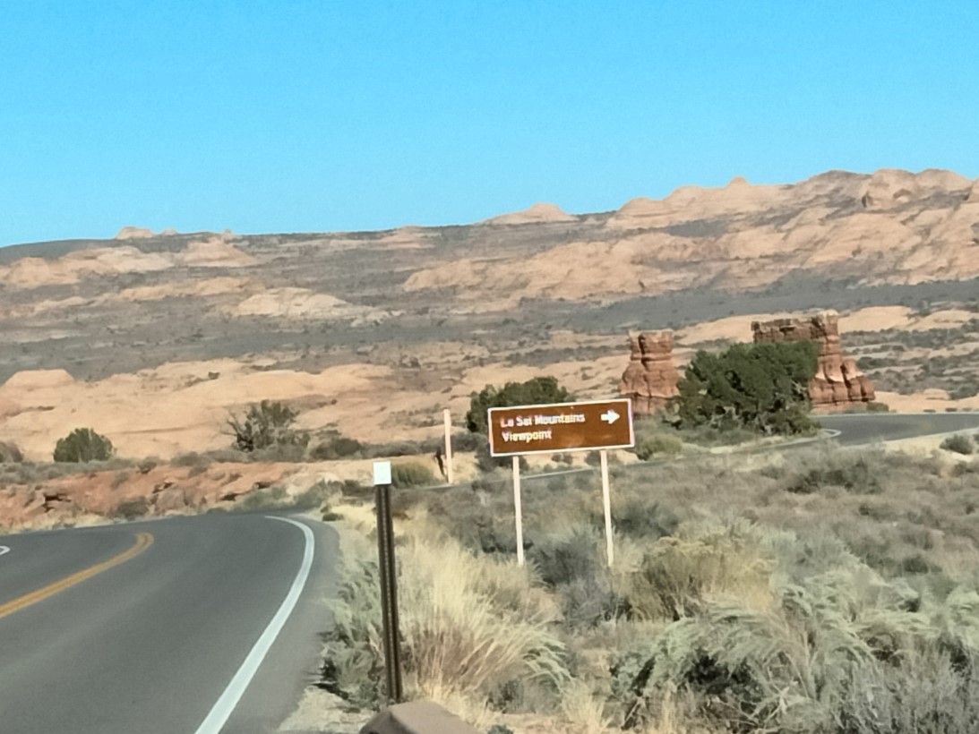
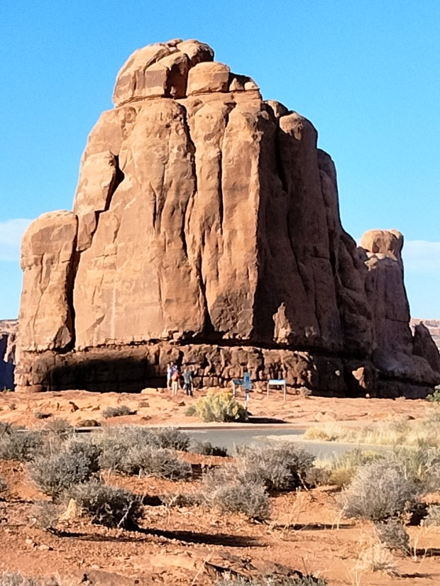
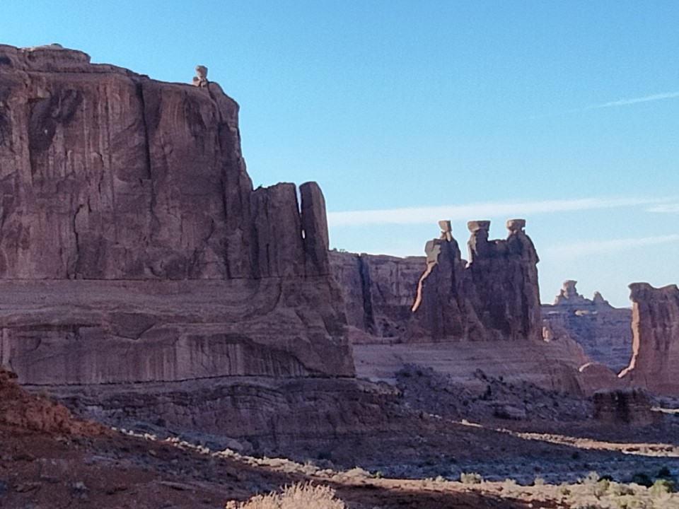
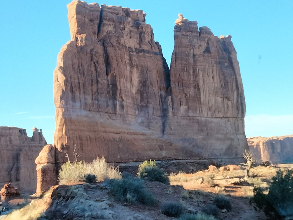
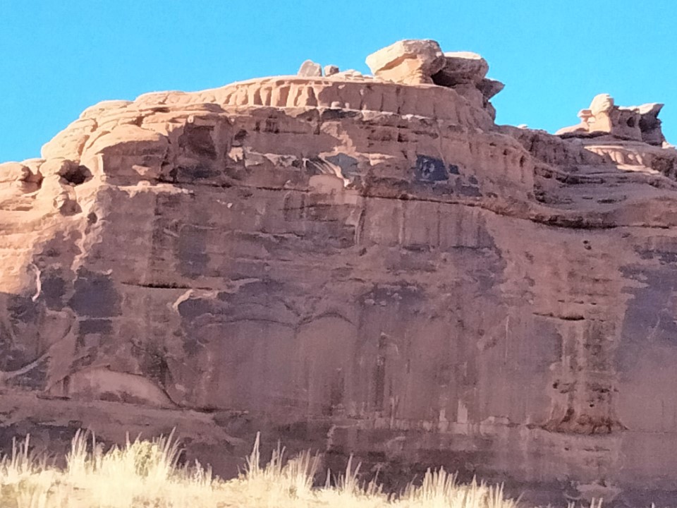
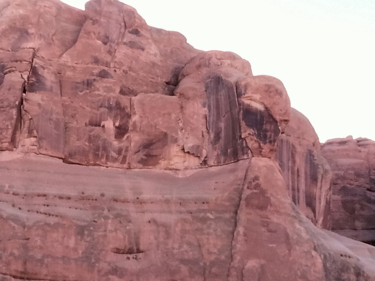
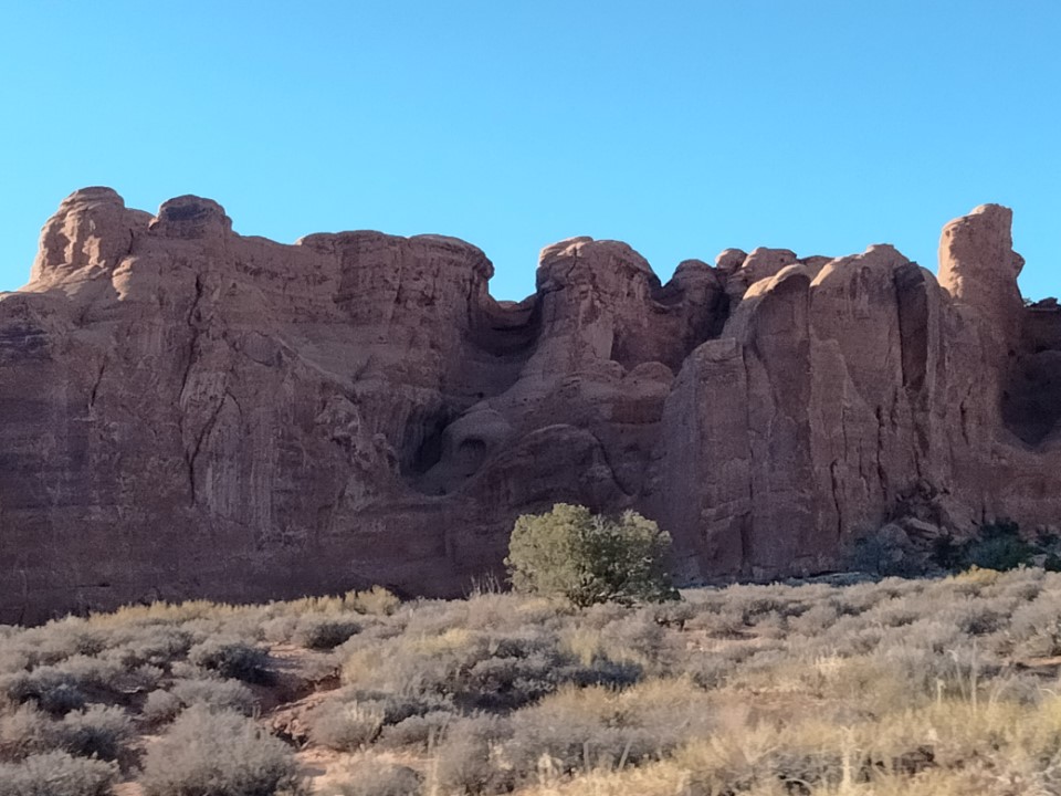
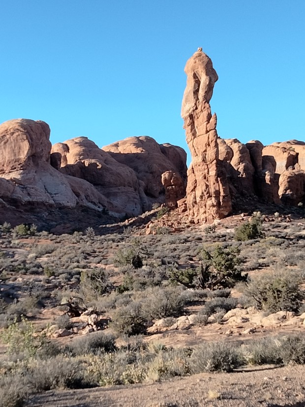
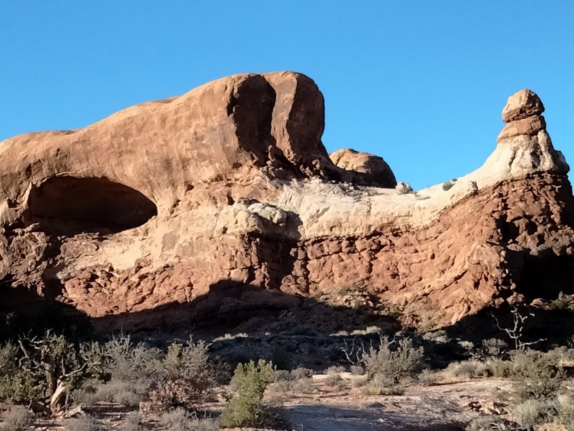
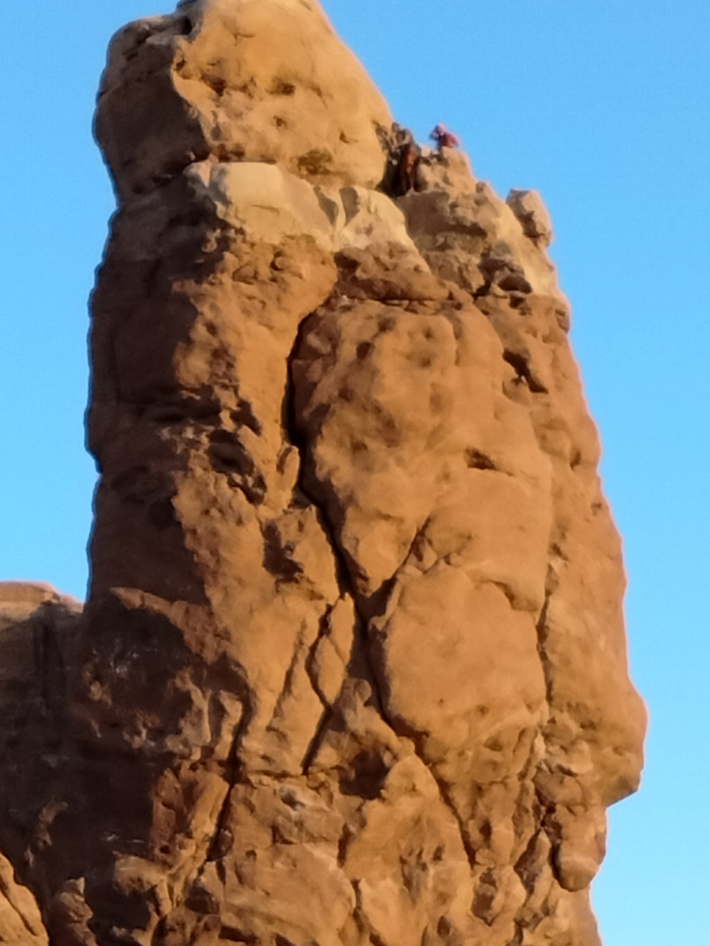
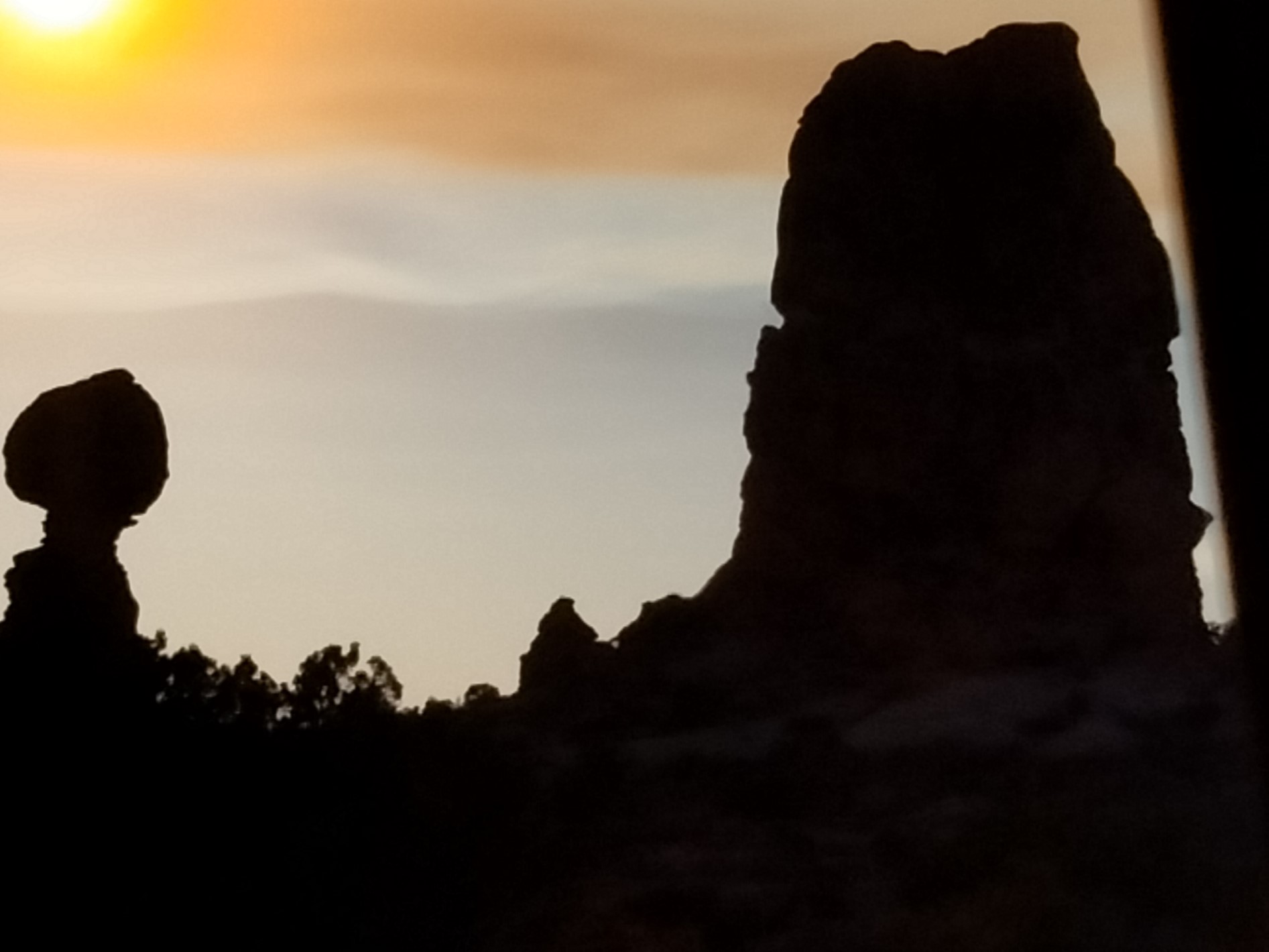
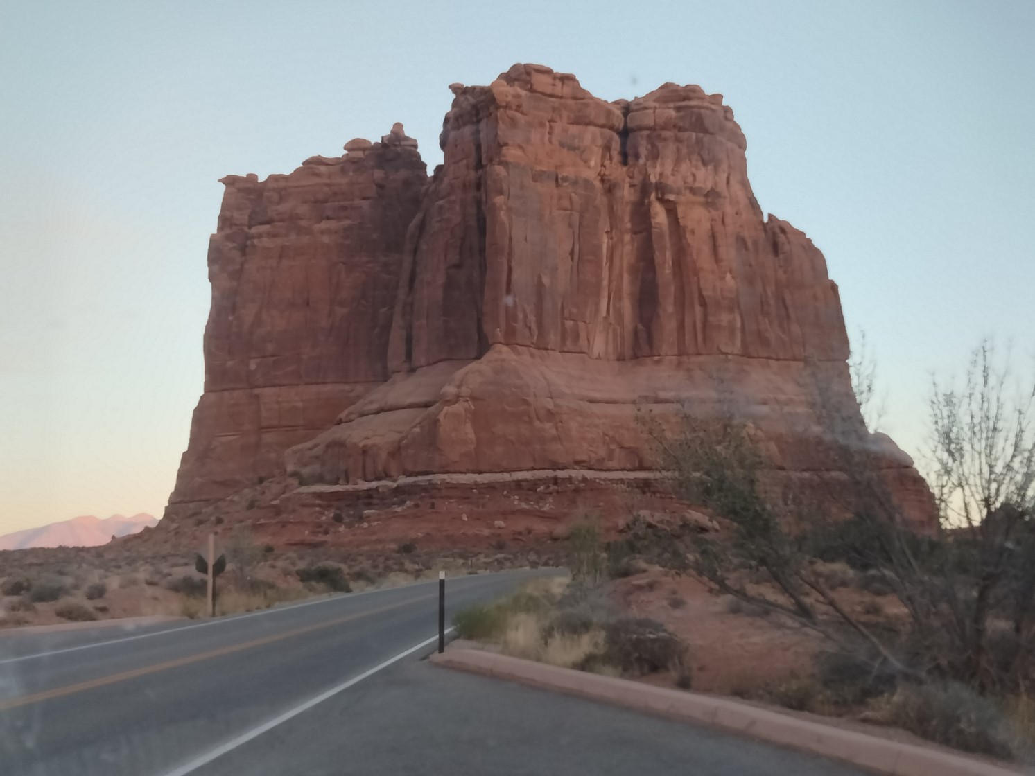
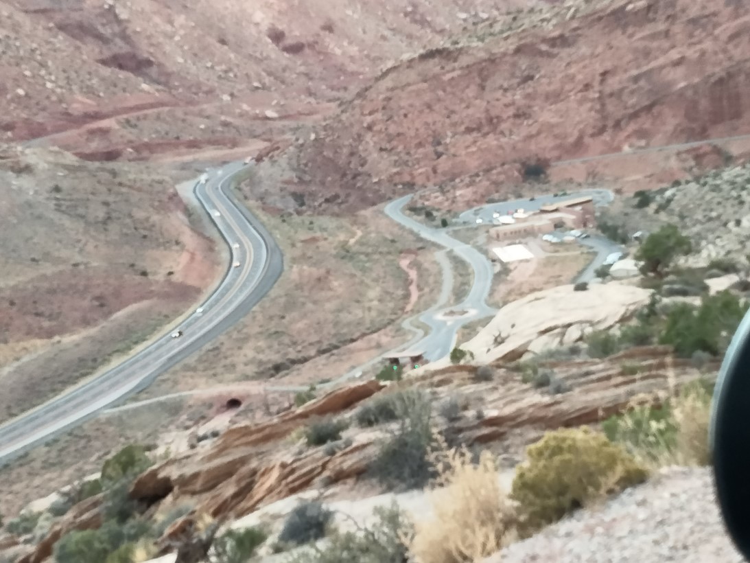
The scenic drive is lovely. Again, I’m going to let the pictures do the talking, as it were. Do note that if you look closely at the 33rd picture–eighth from the bottom, you can see several climbers near the top of the rock formation. My only disappointment was that I would have had to climb a different rock surface in order to see the specific arch that is iconic of the park. BTW, the roadway from the visitor’s center runs up the mountain behind the center. Two of my pictures show first the view directly above the visitors’ center, then the view from the road well above the center.


By the time I left the park, it was starting to get dark. I found a restaurant for dinner–not surprisingly, no fresh seafood available. Finally, as I had throughout the trip, I drove towards my next planned destination: Four Corners Monument.
Discover more from Singin' One's Journeys
Subscribe to get the latest posts sent to your email.